 Moycullen: Weather Cam
Tucked into the low, wooded country west of Galway City, Moycullen is a place whose character is shaped by the roads and scattered homes of rural County Galway. The village stands on the N59, the principal road running from Galway towards Clifden, and its surrounding area forms part of the transition from the city’s hinterland to Connemara. Lough Corrib lies close by, bringing a broad lake landscape to this part of Connacht. Moycullen is within the Galway Gaeltacht, where Irish remains an important community language; its Irish name, An Mhaigh Cuilinn, appears alongside the English form. Local services cluster around the village, while the wider parish remains defined by small roads, trees and fields.
Generated by AI
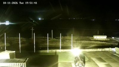
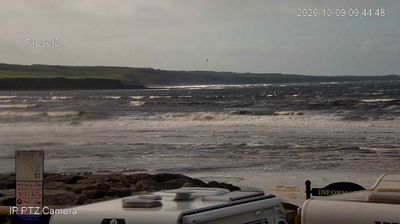

Lough Corrib defines the setting of Moycullen — Ireland’s second-largest lake lies nearby as the village marks the transition from Galway’s urban fringe to the low, lake-strewn interior of western Connacht. Positioned on the N59 between Galway city and Oughterard, Moycullen is closely tied to the road route towards Connemara. Lough Corrib drains south through the River Corrib to Galway Bay, linking the area to the Atlantic coast. Its Irish name, Maigh Cuilinn, means “plain of holly”, reflecting the enduring presence of Irish-language place names in this part of County Galway. Discover other points of interest through webcams located across Connacht.
1 webcam
Connacht extends from the Atlantic coast to the River Shannon, encompassing rugged peninsulas, blanket bogs, inland lakes and limestone plains. Ireland’s western province includes Connemara, where mountains descend towards deeply indented shores, and Mayo’s Croagh Patrick, a long-established destination for pilgrimage above Clew Bay. Lough Corrib spreads through Galway and Mayo, while the coast opens onto island-dotted bays and the open Atlantic. Galway, the region’s largest city, retains the Spanish Arch, part of its historic defences; Irish is still spoken in Gaeltacht communities of Galway and Mayo. Continue with other webcams from the area to see how this part of western Ireland connects regionally.
4 webcams
Atlantic coastline defines much of Ireland — its harbours, pastureland and maritime routes have long supported fishing, farming and trade. The River Shannon crosses the island’s interior, while the west is marked by the Cliffs of Moher and the limestone terrain of the Burren. Dublin combines Georgian streetscapes with institutions such as Trinity College, home to the Book of Kells. Far older still is Newgrange, a Neolithic passage tomb in County Meath whose winter-solstice alignment reflects the island’s prehistoric past. Irish traditional music remains central to pub sessions and festivals, and the Irish language is spoken in designated Gaeltacht areas. Explore nearby webcam locations that provide complementary perspectives on Ireland’s Atlantic coast and inland towns.
33 webcams