 Panticosa: Pico Argualas
Tucked into a high valley of the central Pyrenees, Panticosa is a place whose character is shaped by steep granite slopes above the Caldarés River. Pico Argualas, rising to 3,046 metres, is among the dominant summits of the Panticosa massif and stands above a network of glacial lakes and mountain routes. This part of the municipality includes the Balneario de Panticosa, a historic thermal spa settlement whose mineral springs have long drawn visitors into the valley. Refugio Casa de Piedra, beside the spa, is a well-known base for walkers heading deeper into the high Pyrenees. Forested lower slopes give way to bare rock and high basins, lending the area a notably enclosed alpine character.
Generated by AI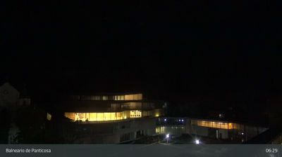
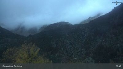
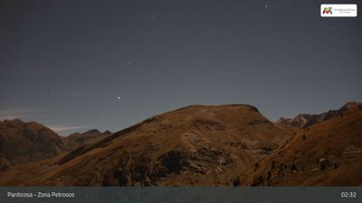
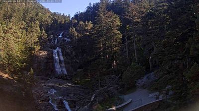

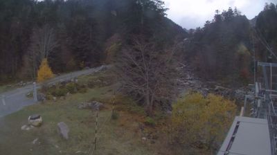

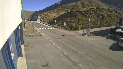

Panticosa combines the close-knit character of a Pyrenean settlement with the energy of a mountain resort in a way that reflects its position in Aragón’s Tena Valley. The village stands beside the Caldarés in the Spanish Pyrenees, while the wider valley drains toward the Gállego. Above the roofs, the Panticosa ski area uses lifts to reach high slopes; in warmer months these mountains draw walkers and cyclists. Stone houses and the parish church of Nuestra Señora de la Asunción preserve a local architectural focus. Farther up the valley, the Balneario de Panticosa continues the area’s longstanding thermal tradition among rugged peaks and lakes. Discover other points of interest through webcams located across Panticosa and Aragón.
5 webcams
Aragon combines the dry plains of the Ebro basin with high Pyrenean terrain in a way that reflects its position between central Spain and the French border mountains. Zaragoza, the regional capital on the Ebro River, is anchored by the Basilica of Our Lady of the Pillar and the Aljafería Palace, a major example of Islamic architecture in Spain. Beyond the city, the region extends from cultivated lowlands to the Pyrenees, where valleys and protected mountain areas shape a markedly different climate and settlement pattern. Aragonese identity is also expressed through distinctive Mudéjar architecture, recognised by UNESCO in several towns. Continue with other webcams from the area to see how this part of northeastern Spain connects regionally.
47 webcams
Spain extends from the Cantabrian coast to the Canary Islands, encompassing Atlantic shores, Mediterranean beaches and the broad interior Meseta. The Pyrenees form its northeastern frontier, while the Guadalquivir crosses Andalusia on its way to the Atlantic. Madrid anchors the country’s political and cultural life, but distinct regional identities are central to Spain’s character: Catalonia, the Basque Country, Galicia and Andalusia each have their own languages or strong local traditions. Granada’s Alhambra is a major monument of the medieval Nasrid dynasty, and Santiago de Compostela remains the destination of the Camino de Santiago. Browse related webcams around the Iberian Peninsula to build a fuller picture of Spain.
1.4K webcams