 Ceska Kamenice: Náměstí 28. října
Few places in the Ústí nad Labem Region have a history as closely tied to the Czech-German borderland as Česká Kamenice. The town stands on the Kamenice River, between the Lusatian Mountains and Bohemian Switzerland, in a part of northern Bohemia shaped by centuries of Czech and German-speaking settlement. Náměstí 28. října forms the heart of the protected historic centre, with townhouses and public buildings lending the compact core a distinctly urban character. Known in German as Böhmisch Kamnitz, Česká Kamenice reflects the changing communities and identities of this border region. The surrounding landscape leads into the sandstone country and upland settlements of northern Czechia.
Generated by AI
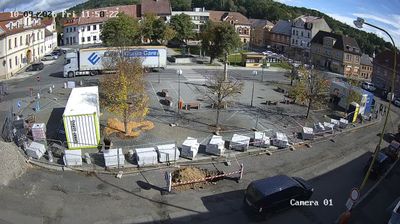

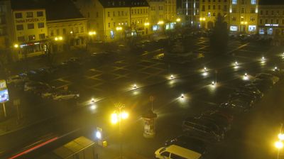
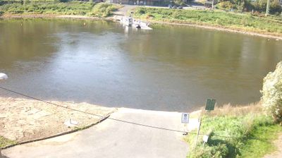
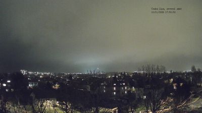
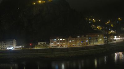
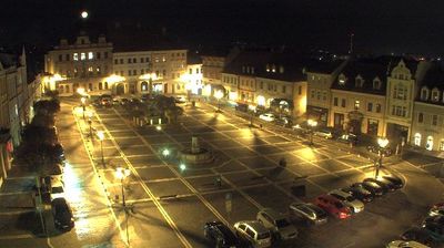
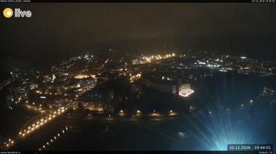

Built around the meeting of the Kamenice River and Bystrý Stream, Česká Kamenice grew into a historic town between the Lusatian Mountains and Bohemian Switzerland. Wooded hills rise close to its centre, while the Kamenice continues north towards the sandstone country of the Elbe valley. Míru Square forms the civic heart of town, with the Church of St James the Greater among its prominent landmarks. Above the centre, the Baroque Chapel of the Nativity of the Virgin Mary on Zámecký vrch reflects Česká Kamenice’s long pilgrimage tradition. Discover how Česká Kamenice connects with northern Bohemia by browsing webcams nearby.
1 webcam
The Ore Mountains and the Elbe valley define much of Ústecký kraj - coalfields, fertile river slopes and a major transport route have shaped its industry, agriculture and settlement. Around Most, decades of lignite extraction have altered the basin, with extensive land reclamation continuing alongside active mining. To the north, the region reaches the Elbe Sandstone landscape of Bohemian Switzerland National Park, home to Pravčická brána, a natural sandstone arch. The Elbe also links Ústí nad Labem with Litoměřice and Terezín, whose 18th-century fortress later became a Nazi ghetto and prison during the Second World War. Browse other webcams across Ústecký kraj to place this setting in a wider geographic context.
104 webcams
The terrain of Czechia ranges from fertile lowlands in southern Moravia to mountain ridges along the northern frontier, giving this Central European country a distinctly varied geography. The Vltava runs through Prague before joining the Elbe, while the Krkonoše form part of the border with Poland and include Sněžka, Czechia’s highest mountain. Prague’s historic centre, with Prague Castle and Charles Bridge, reflects the city’s long role as a political and cultural centre. Beyond the capital, Bohemia is known for spa towns and brewing, and Moravia for wine-growing traditions. View additional webcams nearby to better understand how Czechia relates to its Central European surroundings.
1.4K webcams