 Wershofen: Wershofen/Eifel Airfield
Wershofen combines the practical openness of Wershofen/Eifel Airfield with the quiet, wooded uplands of the northern Eifel in a way that reflects its rural position in Rhineland-Palatinate. Set amid broad fields and low forested ridges, the airfield forms part of an agricultural landscape rather than an urban aviation zone. Its grass flying area and paved operational spaces give the site a clear functional identity, while the village of Wershofen lies among the rolling terrain beyond. The Eifel is one of Germany’s distinctive upland regions, and this part of the Ahrweiler district retains a spacious, lightly built character. Wershofen/Eifel Airfield brings an aviation focus to a setting otherwise defined by farmland, woodland and small communities.
Generated by AI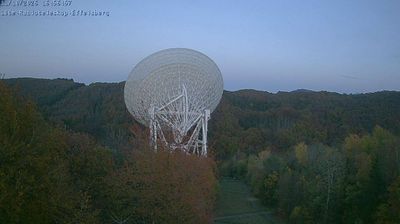

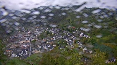
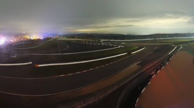

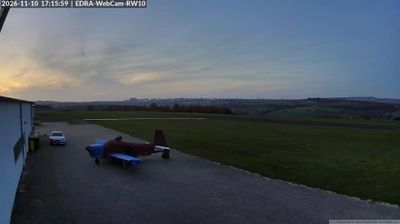

Few communities in Rhineland-Palatinate have a history as closely tied to farming in the Eifel uplands as Wershofen. The settlement lies amid the wooded, rolling terrain of the Ahr Hills, a part of the Eifel shaped by small fields, meadows and dispersed villages rather than the broad corridors of the Rhine and Moselle. Wershofen belongs to the district of Ahrweiler, whose name is associated with the Ahr valley; the river rises farther west in the Eifel. The Nürburgring, opened in 1927, is another enduring marker of the surrounding region’s identity. Browse nearby webcams to see how Wershofen fits within the wider Eifel.
1 webcam
The Rhine and Moselle define much of Rhineland-Palatinate – their valleys have long concentrated vineyards, river transport and historic towns. Inland, the wooded Hunsrück plateau contrasts with the vine-covered slopes of the Moselle, Nahe and Mittelrhein wine areas. Trier preserves the Porta Nigra, a Roman city gate within the UNESCO-listed Roman Monuments of Trier. The state also includes part of the UNESCO-listed Upper Middle Rhine Valley, where castles, terraces and riverside settlements shape a celebrated cultural landscape. Wine festivals and the autumn harvest remain central to local life. Browse other webcams across Rhineland-Palatinate to place this setting in a wider geographic context.
123 webcams
Germany stretches from the North Sea and Baltic Sea coasts to the Alps on its southern border, encompassing northern plains, river valleys and forested uplands. The Rhine, Danube and Elbe have long connected its regions, while the Black Forest and Bavarian Alps give the south a more dramatic relief. Berlin’s Brandenburg Gate and Museum Island reflect the capital’s role in German history and culture. Cologne Cathedral, a UNESCO World Heritage Site, rises above the Rhine, and the Bauhaus movement, founded in Weimar in 1919, transformed modern design far beyond Germany. Regional cooking, Christmas markets and brewing traditions bring further character to daily life. Browse additional webcams from the surrounding area to extend your view of Germany.
2.8K webcams