 Si Lom Subdistrict: North Sathon Road - Saphan Taksin Public Park
North Sathon Road straddles the boundary between Silom and Thung Maha Mek in Bangkok, a divide that has made it a busy corridor between the commercial core and the Chao Phraya riverfront. Near its western end, Saphan Taksin Public Park provides a compact public green space within a dense urban district. The road runs beside the elevated BTS Silom Line, and Saphan Taksin station connects with Sathorn Pier, a major stop for Chao Phraya Express Boat services. Taksin Bridge carries traffic across the river to Thon Buri and is named for King Taksin, the 18th-century ruler associated with Siam's reunification. This stretch captures Bangkok as an everyday transport district on a major approach to the river rather than a historic precinct.
Generated by AI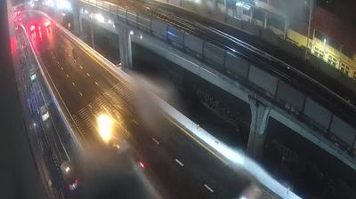
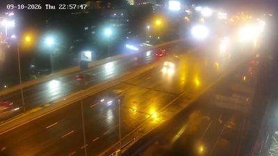

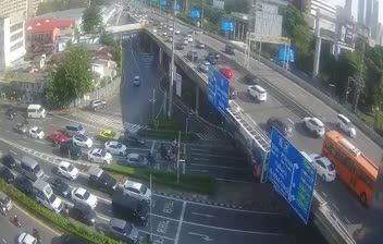
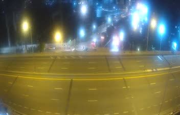
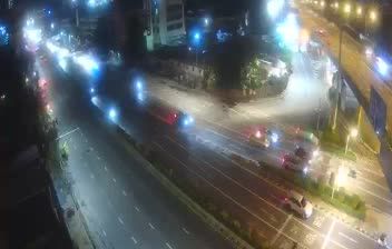
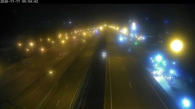

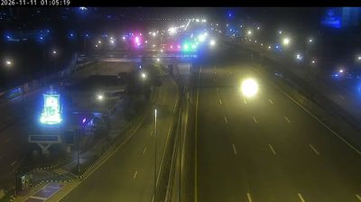
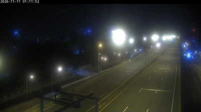

Si Lom Subdistrict combines Bangkok’s corporate tempo with an older street-trading culture in a way that reflects its position in Bang Rak, east of the Chao Phraya River. Silom Road and nearby Sathon Road are lined with offices, hotels, malls and BTS stations, while narrow side streets retain food stalls and small businesses. Sri Maha Mariamman Temple on Silom Road, founded by Tamil Hindu immigrants in the late 19th century, is known locally as Wat Khaek and remains an active place of worship. After dark, Patpong’s entertainment streets add another layer to the district. Browse other webcams across Bangkok and the Chao Phraya basin to place this setting in a wider geographic context.
2 webcams
Bangkok is best known within Thailand for the Grand Palace, the historic royal complex at the heart of the old city. Built beside the Chao Phraya River, the capital grew from a riverside settlement into Thailand’s political, commercial, and cultural centre. Rattanakosin Island holds major Buddhist sites including Wat Pho, while the river remains a working route for ferries, cargo boats, and long-tail boats. Beyond the historic core, dense neighbourhoods, street-food districts, markets, and modern rail lines reveal the scale and energy of a city of many layers. See how Bangkok connects with its wider metropolitan area by browsing webcams nearby.
36 webcams
Thailand stretches from the mountains along its northern borders to the Malay Peninsula, encompassing fertile central plains, river deltas and long tropical coasts. The Chao Phraya River runs through Bangkok, where the Grand Palace and Wat Phra Kaew remain central symbols of the Thai monarchy and Buddhist tradition. North of the capital, Ayutthaya’s temple ruins recall the former Siamese kingdom; farther south, the Andaman Sea and Gulf of Thailand frame islands, fishing ports and beach resorts. Thai food, from street stalls to regional kitchens, is inseparable from daily life, while Songkran marks the traditional New Year each April. Browse additional webcams from the surrounding area to extend your view of Thailand.
149 webcams