 Airolo: Pesciüm "Canalone
Airolo has served as an Alpine transit settlement in Ticino since the Middle Ages. At the upper end of the Leventina valley, it lies below the Gotthard Pass, one of Switzerland’s historic north–south routes across the Alps. The opening of the Gotthard railway tunnel in 1882 established Airolo as a major rail link between northern Switzerland and Ticino, while the later Gotthard Road Tunnel reinforced its transport role. Steep wooded slopes and alpine pasture frame the settlement, and the nearby Valle Bedretto branches west towards the Nufenen Pass. Airolo is also a base for mountain activities, with the Pesciüm area above the village used for skiing and walking.
Generated by AI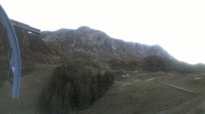
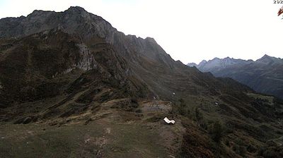




Airolo is best known within Ticino for its position on the southern approach to the Gotthard Pass. Set in the upper Leventina valley beside the Ticino River, it has long been tied to one of the Alps’ principal north–south routes between central Switzerland and Italy. The southern portal of the original Gotthard railway tunnel, opened in 1882, stands here, marking a major chapter in Alpine engineering and rail travel. Mountain roads, rail lines and hiking terrain give the settlement a distinctly transit-shaped identity, while its high valley setting keeps the surrounding peaks close at hand. Explore nearby webcam locations that provide complementary perspectives on Airolo and the Gotthard region.
7 webcams
Ticino combines high Alpine terrain with a distinctly Italian-speaking character in a way that reflects its position between the Swiss Alps and northern Italy. Lake Maggiore and Lake Lugano lend a lakeside dimension to a canton otherwise shaped by steep valleys, including the Maggia and Verzasca. Bellinzona, the cantonal capital, is marked by three medieval castles whose defensive complex is listed by UNESCO. In Locarno, Piazza Grande is internationally known as the principal venue of the Locarno Film Festival. South of the Gotthard, major rail and road routes have long connected central Europe with the Italian plain. View additional webcams nearby to better understand how Ticino relates to the Alpine valleys and lakes around it.
68 webcams
Switzerland stretches from the Jura Mountains in the northwest to the Alps in the south, encompassing a central plateau of cities, farms and lakes. The Rhine rises in the Swiss Alps, while Lake Geneva forms part of the country’s southwestern border. Zürich, Geneva and Basel are major urban centres, yet mountain railways and passes remain central to how many regions are experienced. Four national languages—German, French, Italian and Romansh—reflect Switzerland’s distinct cantonal identities. The Matterhorn above Zermatt is among Europe’s most recognisable peaks, and the 1291 Federal Charter is closely associated with the country’s founding tradition. Continue through nearby webcams to explore different parts of Switzerland.
1.5K webcams