 Schattdorf: Gitschen
Schattdorf is best known within Uri for its position in the Reuss valley. The municipality lies immediately south of Altdorf on a broad stretch of valley floor framed by steep, wooded Alpine slopes. Homes, farmland and workplaces share this confined corridor, while the Reuss runs north toward Lake Lucerne. Schattdorf stands on the historic north–south route through Uri to the Gotthard Pass, the Alpine crossing that connects central Switzerland with Ticino. Its setting illustrates how settlement and transport have concentrated in Uri’s narrow main valley. The cultural reference point is nearby Altdorf, closely associated with the William Tell tradition.
Generated by AI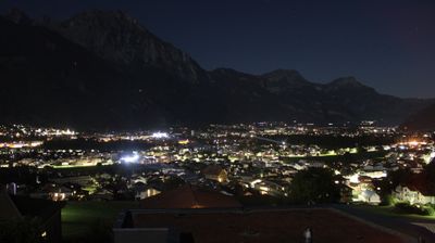
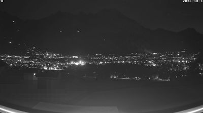
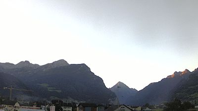
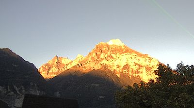
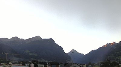
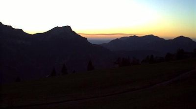
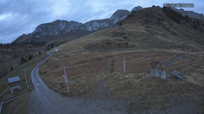

Schattdorf has served as a farming settlement in Uri’s Reuss valley since the Middle Ages. Set just south of Altdorf, it occupies the broad valley floor beneath the Alpine slopes leading towards Haldi, a terrace reached by cable car from the village. The Reuss has long shaped this part of central Switzerland, where transport routes, cultivated land and compact settlements share limited space between the mountains. Schattdorf remains closely connected to Uri’s rural traditions while forming part of the Altdorf urban area. Browse other webcams across Uri to place Schattdorf in a wider Alpine context.
2 webcams
The Reuss River and steep Alpine valleys shape much of Uri - they have long channelled transport, settlement and hydropower through this central Swiss canton. From Lake Lucerne at Flüelen, the main valley rises south towards the Gotthard Pass, one of Europe’s historic north-south routes. Altdorf, Uri’s cantonal capital, is closely associated with the William Tell tradition, while the Rütli meadow on the lakeshore is linked to the Federal Charter of 1291. Roads and railways in the Gotthard corridor still define Uri’s role within Switzerland, running between high slopes and narrow side valleys. Summer brings hiking and mountain travel, while winter lends the canton a quieter Alpine rhythm. Browse nearby webcams to discover further corners of Uri.
35 webcams
Switzerland stretches from the Jura Mountains in the northwest to the Alps in the south, encompassing a central plateau of cities, farms and lakes. The Rhine rises in the Swiss Alps, while Lake Geneva forms part of the country’s southwestern border. Zürich, Geneva and Basel are major urban centres, yet mountain railways and passes remain central to how many regions are experienced. Four national languages—German, French, Italian and Romansh—reflect Switzerland’s distinct cantonal identities. The Matterhorn above Zermatt is among Europe’s most recognisable peaks, and the 1291 Federal Charter is closely associated with the country’s founding tradition. Continue through nearby webcams to explore different parts of Switzerland.
1.5K webcams