 Stuyvesant: E 14th St
East 14th Street is best known within Manhattan for linking Union Square with the East Village. Running through the numbered street grid, it marks a transition between the commercial blocks around Union Square and the lower-rise streets farther east. Union Square has been a civic gathering place since the 19th century and hosts the Union Square Greenmarket, established in 1976. This corridor lies in a dense part of Manhattan between the Hudson River and East River, where apartments, storefronts, institutions and cross-town traffic define the streetscape. Around Third Avenue, its broad roadway and varied building stock show how several Manhattan neighbourhoods meet along one street.
Generated by AI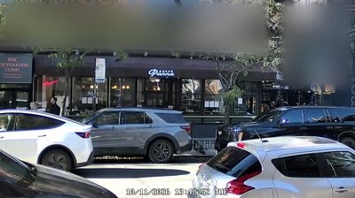




The Hudson River defines the setting of Stuyvesant — its broad tidal channel forms the community’s western edge and links this rural part of Columbia County with the opposite shore. Set in New York’s Hudson Valley, the town occupies a quieter stretch of river country, where wooded banks, open fields and small settlements contrast with the larger cities along the waterway. Created in 1823 from part of Kinderhook, Stuyvesant was named for Peter Stuyvesant, the Dutch colonial official. Country roads and riverside routes keep the Hudson at the centre of the area’s sense of place. Explore nearby webcam locations that provide complementary perspectives on Stuyvesant and the Hudson Valley.
1 webcam
New York has served as a commercial and transport heartland within the United States since the early 19th century. These coordinates lie in Central New York, near Oneida Lake, the largest lake entirely within the state. The lake and the nearby Mohawk Valley formed part of the wider corridor that made the Erie Canal, completed in 1825, a decisive link between the Hudson River and the Great Lakes. This is also part of the ancestral homeland of the Oneida people, one of the Haudenosaunee nations. Today, waterways, small lakeside communities and the canal-era landscape give the area a distinctly inland New York character. Explore nearby webcam locations that provide complementary perspectives on Central New York and Oneida Lake.
64 webcams
The Atlantic, Pacific and Gulf coasts define much of the United States — their ports, fisheries and trade routes have long tied the country’s economy to the wider world. Between them, the Rocky Mountains, Great Plains and Mississippi River basin form sharply different regions, from high western ranges to broad agricultural heartlands. Cities carry much of the national story: New York’s Statue of Liberty, a gift from France dedicated in 1886, remains an enduring symbol, while Washington, DC concentrates major federal institutions. Indigenous nations have shaped these lands for millennia, and their living cultures remain essential to the country’s identity. Find related webcams in the surrounding areas to build a fuller picture of the United States.
32K webcams