 Rokytnice v Orlickych horach: Tvrz Hanička
Built as a Czechoslovak border fortification, Hanička grew into a museum of the interwar defence system. The complex stands in the wooded Orlické Mountains near Rokytnice v Orlických horách, close to the Polish border. Construction began in 1936 as part of a defensive line intended to protect Czechoslovakia’s northern frontier. Its heavy concrete combat blocks were linked by underground passages, an engineering response to the military threats of the late 1930s. The works were not completed after the Munich Agreement of 1938 forced Czechoslovakia to cede its borderlands. Today, Hanička gives this quiet mountain landscape a sharply defined historical focus.
Generated by AI




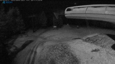




Rokytnice v Orlických horách lies along the Rokytenka River, beneath the forested ridges of the Orlické Mountains near the Polish border. This small mountain town is closely connected to the surrounding hiking, cycling and winter-sports terrain, while its centre retains the character of a regional service town. Nearby Hanička Fortress forms part of Czechoslovakia’s pre-war border-defence system and recalls the strategic importance of this borderland. Explore additional webcams nearby to see how Rokytnice v Orlických horách relates to the wider Orlické Mountains.
2 webcams
The Krkonoše Mountains and the upper Elbe define much of Královéhradecký kraj - mountain resorts and winter sports have long supported its tourism economy. On the Polish border, Sněžka reaches 1,603 metres, making it Czechia’s highest mountain, and stands within Krkonoše National Park. The Elbe rises in these mountains before flowing through the region’s lower country. Hradec Králové, the regional capital, combines a historic core with notable early-20th-century architecture linked to Josef Gočár and Jan Kotěra. Farther east, the sandstone formations of the Adršpach–Teplice Rocks introduce a sharply different terrain. View additional webcams nearby to better understand how Královéhradecký kraj connects its mountain borderlands with the Elbe lowlands.
107 webcams
The terrain of Czechia ranges from fertile lowlands in southern Moravia to mountain ridges along the northern frontier, giving this Central European country a distinctly varied geography. The Vltava runs through Prague before joining the Elbe, while the Krkonoše form part of the border with Poland and include Sněžka, Czechia’s highest mountain. Prague’s historic centre, with Prague Castle and Charles Bridge, reflects the city’s long role as a political and cultural centre. Beyond the capital, Bohemia is known for spa towns and brewing, and Moravia for wine-growing traditions. View additional webcams nearby to better understand how Czechia relates to its Central European surroundings.
1.2K webcams