 East Bay: Cam
Few places in Nova Scotia have a history as closely tied to the shores of Bras d'Or Lake as East Bay. This small Cape Breton Island community follows Highway 4, one of the principal routes around the lake’s broad inland waters, with fields, wooded lots and scattered homes marking the settled shoreline. Bras d'Or Lake is a brackish inland sea connected to the Atlantic by narrow channels, and its bays have long shaped travel and settlement across central Cape Breton. East Bay lies within Mi'kma'ki, the traditional territory of the Mi'kmaq; their culture and communities remain central to the island’s identity. A roadside church and open agricultural land lend this stretch a distinctly rural character, away from the urban centre of Sydney.
Generated by AI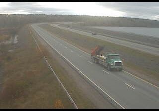
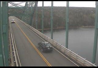
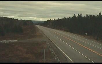
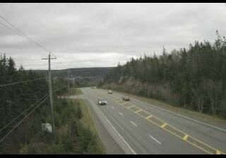
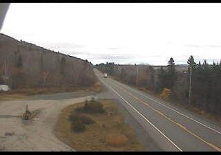

The landscape around East Bay is low and wooded beside the tidal waters of Bras d’Or Lake, which have shaped both the community’s shoreline settlement and local economy. This broad, brackish inland water system is connected to the Atlantic Ocean through narrow channels and forms a defining part of Cape Breton Island’s geography. Its bays, islands and forested shores give the area a distinctly maritime character. The wider island is home to Mi’kmaq communities and is closely associated with Gaelic, Acadian and fiddle-music traditions. Discover further points of interest through webcams located across Cape Breton Island and Nova Scotia.
1 webcam
Built around Atlantic fisheries and seaborne trade, Nova Scotia grew into a maritime province whose communities remain closely tied to the water. Its peninsula and Cape Breton Island face the Atlantic, while the Bay of Fundy shapes much of the western coast and is known for some of the world’s highest tides. Halifax, the provincial capital, is home to the star-shaped Halifax Citadel National Historic Site, recalling the city’s strategic role as a harbour. Mi’kmaq culture is fundamental to the province’s identity, alongside Acadian and Gaelic traditions. Explore further points of interest through webcams across Nova Scotia.
89 webcams
Canada has served as a frontier between French and British colonial powers since the 17th century. The world’s second-largest country extends from Atlantic shores to the Pacific and Arctic coasts, with the Canadian Shield, the Rocky Mountains, the Great Lakes and the St. Lawrence River shaping its vast geography. First Nations, Inuit and Métis peoples are central to Canada’s identity, while Ottawa’s Parliament Hill represents its federal political life. French remains the official language of Quebec, adding a distinct dimension to the country’s public culture. See how Canada connects across North America by browsing webcams in neighbouring regions.
3.5K webcams