 Maroochydore: Nambour
Blackall Range defines the setting of Nambour — the town spreads across its eastern foothills in the Sunshine Coast hinterland rather than along the nearby coast. Currie Street is Nambour’s principal commercial thoroughfare, running through a compact centre of shops, services and civic buildings; Maud Street meets it close to the town’s central retail area. Nambour developed as a service town for surrounding farming districts and was long associated with sugar-cane processing. The Moreton Central Sugar Mill, which operated here until 2003, made the town an important sugar-industry centre in Queensland. Today it remains an administrative and transport hub for hinterland communities between the Blackall Range and the coastal plain.
Generated by AI

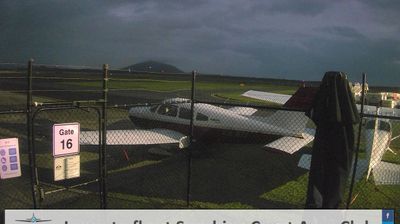



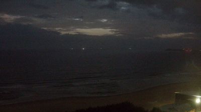

Few towns on Queensland’s Sunshine Coast have a history as closely tied to the Maroochy River and seaside tourism as Maroochydore. Set between the river mouth and the Coral Sea, it pairs a long ocean beach with the gentler waters around Cotton Tree, a well-established riverside precinct. The name Maroochydore is generally understood to derive from a Kabi Kabi word for black swan, reflecting the area’s Aboriginal heritage. Today it is one of the Sunshine Coast’s main commercial centres, with cafés, shopping and waterfront walks linking the riverfront to the beach. Explore nearby webcam locations that provide complementary perspectives on Maroochydore and Queensland’s Sunshine Coast.
6 webcams
Queensland extends from Torres Strait in the north to the New South Wales border in the south, encompassing a tropical coastline and a vast, dry interior. Along the Coral Sea, the Great Barrier Reef runs beside the state’s eastern shore, while inland plains, grazing country and long distances define much of central and western Queensland. This location lies in the interior, where settlements are widely spaced and open outback horizons contrast with the humid coast. Queensland is home to Aboriginal and Torres Strait Islander peoples, whose enduring connections to Country underpin its cultural identity. Browse additional webcams from central Queensland to extend your view of the state’s interior.
513 webcams
Australia’s terrain extends from tropical rainforests in the northeast to arid plains in the interior, producing dramatic climatic contrasts. The Great Dividing Range follows much of the eastern coast, while the Great Barrier Reef lies off Queensland in the Coral Sea and Uluru rises from the central desert. Aboriginal and Torres Strait Islander peoples maintain living cultures whose connections to Country long predate European settlement. In Sydney, the sail-like Opera House, completed in 1973, stands beside one of the world’s best-known harbours. Discover further points of interest through webcams located across Australia.
1.7K webcams