 Caboolture: Burpengary
Burpengary North combines fast-growing suburban development with a broad, wooded roadside setting in a way that reflects its position on Queensland’s coastal plain. The locality lies west of Moreton Bay, between Brisbane and the Sunshine Coast, where the Bruce Highway meets Uhlmann Road. This major north–south route forms part of the road corridor linking Brisbane with Cairns and many coastal communities in between. Named for former Australian prime minister Stanley Bruce, the highway gives Burpengary North a strongly connected, practical character: residential districts and local businesses sit close to one of southeast Queensland’s principal transport arteries. Woodland remnants along the corridor retain a link to the lowland setting of the Moreton Bay region.
Generated by AI

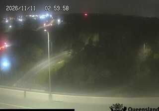
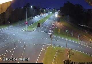

The landscape around Caboolture is a low-lying subtropical river plain shaped by the Caboolture River and its flood-prone flats, which has influenced both the town’s layout and local economy. North of Brisbane, Caboolture has long functioned as a regional centre between the metropolitan fringe and the Sunshine Coast hinterland; its station on Queensland’s North Coast line remains central to that connection. The Abbey Museum of Art and Archaeology adds a cultural focus, with collections ranging from antiquity to the medieval period and the annual Abbey Medieval Festival. Caboolture Historical Village records the district’s farming, rail and community heritage. Continue through nearby webcams to explore different parts of Caboolture and the Moreton Bay region.
6 webcams
Queensland extends from Torres Strait in the north to the New South Wales border in the south, encompassing a tropical coastline and a vast, dry interior. Along the Coral Sea, the Great Barrier Reef runs beside the state’s eastern shore, while inland plains, grazing country and long distances define much of central and western Queensland. This location lies in the interior, where settlements are widely spaced and open outback horizons contrast with the humid coast. Queensland is home to Aboriginal and Torres Strait Islander peoples, whose enduring connections to Country underpin its cultural identity. Browse additional webcams from central Queensland to extend your view of the state’s interior.
474 webcams
Australia’s terrain extends from tropical rainforests in the northeast to arid plains in the interior, producing dramatic climatic contrasts. The Great Dividing Range follows much of the eastern coast, while the Great Barrier Reef lies off Queensland in the Coral Sea and Uluru rises from the central desert. Aboriginal and Torres Strait Islander peoples maintain living cultures whose connections to Country long predate European settlement. In Sydney, the sail-like Opera House, completed in 1973, stands beside one of the world’s best-known harbours. Discover further points of interest through webcams located across Australia.
1.6K webcams