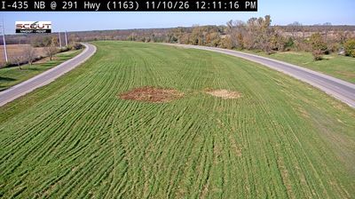
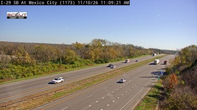
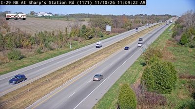
 Trimble: MO and Smithville Lake area webcam
Among the communities of northwestern Missouri, Trimble stands out for straddling the line between Clay and Clinton counties. The town occupies rolling agricultural country in the Missouri River basin, north of Kansas City, where homes, lawns and tree cover meet open fields. Its scale is rural, while the wider Kansas City area remains an important regional reference point. Clay County was established in 1822 and Clinton County in 1833, tying Trimble to the 19th-century county framework that still organizes local government here. That boundary gives the community an unusual civic identity within a largely agricultural setting.
Generated by AI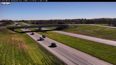

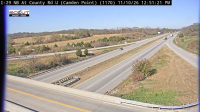
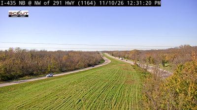
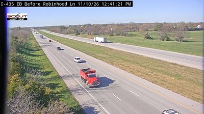



Trimble lies along Sunday Creek, amid the wooded, folded hills of southeastern Ohio’s Appalachian Plateau. This small Athens County village developed in a district shaped by coal mining, an industry that left a lasting imprint on communities throughout the creek valleys. Its setting is defined by narrow valley roads, forested slopes and proximity to Athens, the region’s university city. The Hocking River runs through the wider area, while Wayne National Forest reflects the public-land character of southeastern Ohio. Find related webcams around Athens County to build a fuller picture of southeastern Ohio.
1 webcam
Built around the Ohio River corridor and Lake Erie trade routes, Ohio grew into a major state of the American Midwest. Its terrain extends from the Appalachian foothills in the southeast across fertile central plains to Lake Erie’s northern shore, while the Cuyahoga River passes through Cleveland before entering the lake. Columbus, the state capital, stands near the centre of the state. Cincinnati developed along the Ohio River, and Cleveland’s Rock and Roll Hall of Fame marks the city’s place in American music. Dayton is closely linked with the Wright brothers and the early history of powered flight. Browse additional webcams from the surrounding area to extend your view of Ohio.
1.1K webcams
The Atlantic, Pacific and Gulf coasts define much of the United States — their ports, fisheries and trade routes have long tied the country’s economy to the wider world. Between them, the Rocky Mountains, Great Plains and Mississippi River basin form sharply different regions, from high western ranges to broad agricultural heartlands. Cities carry much of the national story: New York’s Statue of Liberty, a gift from France dedicated in 1886, remains an enduring symbol, while Washington, DC concentrates major federal institutions. Indigenous nations have shaped these lands for millennia, and their living cultures remain essential to the country’s identity. Find related webcams in the surrounding areas to build a fuller picture of the United States.
32K webcams