 Lesconil: Nautical Center and Outdoor C.N.P.A. - Plage du steir Nibilic
Lesconil occupies a low Atlantic shore in the Pays Bigouden area of southern Brittany. Around Plage du Steir Nibilic, tidal sand and rock flats meet the Bay of Biscay, while the Centre Nautique et de Plein Air supports local sailing and paddle sports by the water. The settlement belongs to the commune of Plobannalec-Lesconil, whose harbour developed as a fishing port; maritime work remains central to its identity. Western Brittany’s substantial tides continually shape this shore, exposing a broad foreshore between the beach and the sea. Pays Bigouden is also known for the tall lace headdresses that became an enduring emblem of Breton costume.
Generated by AI


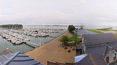
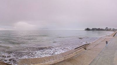
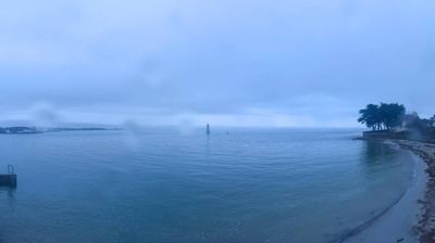
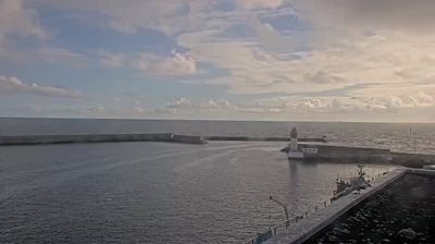
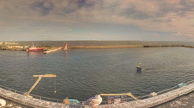


The landscape around Lesconil is defined by low, windswept granite shores on the Bay of Biscay, which have shaped both the settlement’s compact form and its maritime economy. Part of the commune of Plobannalec-Lesconil in Finistère, this small port belongs to Pays Bigouden, a corner of southern Brittany associated with Breton language and customs. The harbour remains the town’s focal point, recalling the fishing trade that long linked local families to the Atlantic. The coast alternates between rocky inlets and sandy stretches, while nearby Loctudy and Le Guilvinec reinforce the working character of this shoreline. Discover further coastal landmarks through webcams located across Brittany.
1 webcam
Brittany has served as a cultural crossroads within northwestern France since the medieval era. Occupying a broad peninsula between the English Channel and the Atlantic Ocean, it is shaped by the ancient Armorican Massif, a terrain of granite uplands, farmland and deeply indented shores. The region retains a strong Breton identity alongside its French character; the Breton language, related to the Celtic languages of Britain, is still taught and heard in parts of the region. Prehistoric monuments are another enduring marker, with the Carnac stones among Europe’s most important megalithic sites. Port cities, fishing traditions and maritime foodways give the coast a distinct place in French life. Browse additional webcams from the surrounding area to extend your view of Brittany.
171 webcams
The Atlantic and Mediterranean coastlines, together with the Alps, Pyrenees and broad river basins, define much of France — they support maritime trade, farming, wine regions and travel throughout the year. The Seine runs through Paris, where the Eiffel Tower and the Louvre are among Europe’s most recognised landmarks. The Loire Valley is known for Renaissance châteaux, while Mont-Saint-Michel rises from a tidal bay in Normandy. Regional food traditions are equally distinctive, from Breton seafood to Provençal cooking, with bread, cheese and wine central to everyday life. France’s global cultural influence is evident in its language, literature, fashion and cinema. View additional webcams nearby to better understand how France’s coasts, plains and mountain borders relate to their surroundings.
2.2K webcams