 Uherske Hradiste: Masarykovo náměstí
Uherské Hradiště lies along the Morava River in the Slovácko region, its position in the river plain made it a fortified royal town on the historic Hungarian frontier. Founded in 1257 by King Přemysl Otakar II, it remains one of south-eastern Moravia’s principal urban centres. Masaryk Square forms the civic heart: a broad paved space bordered by mature trees and historic town buildings, with streets leading into the older core. The town is closely identified with Slovácko’s folk traditions and wine culture, while the annual Summer Film School brings a contemporary cultural dimension to the centre. Together, the square and surrounding streets give Uherské Hradiště a distinctly Moravian public character.
Generated by AI

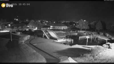
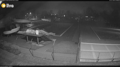
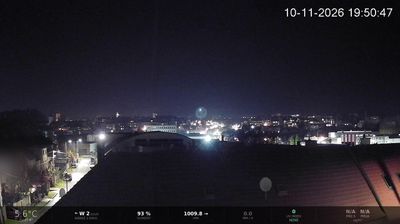


Uherské Hradiště lies along the Morava River in the flat, fertile lowlands of Moravian Slovakia, with the wooded slopes of the Chřiby Hills rising to the north. Founded as a royal town in 1257, it grew into an important fortified centre near the historic Moravian–Hungarian frontier. Its compact centre is marked by Masaryk Square, while the Slovácké Museum presents the folk traditions, archaeology and regional history of Slovácko. The town is also associated with local wine culture and the annual Summer Film School, an established Czech film event. Discover how Uherské Hradiště belongs to the wider Morava valley by browsing webcams nearby.
1 webcam
Centred on the industrial city of Zlín and the valleys of eastern Moravia, Zlínský kraj developed into a distinct region of Czechia. Zlín is closely associated with the Bata shoe company, whose factory-led expansion gave the city its notable Functionalist architecture. To the east, the White Carpathians follow the Slovak border, while the Morava River crosses lowlands near Uherské Hradiště. Velehrad, one of the country’s important pilgrimage places, adds another dimension to the area’s Moravian identity. Browse webcams nearby to see how Zlínský kraj belongs to the wider landscape of eastern Moravia.
95 webcams
The terrain of Czechia ranges from fertile lowlands in southern Moravia to mountain ridges along the northern frontier, giving this Central European country a distinctly varied geography. The Vltava runs through Prague before joining the Elbe, while the Krkonoše form part of the border with Poland and include Sněžka, Czechia’s highest mountain. Prague’s historic centre, with Prague Castle and Charles Bridge, reflects the city’s long role as a political and cultural centre. Beyond the capital, Bohemia is known for spa towns and brewing, and Moravia for wine-growing traditions. View additional webcams nearby to better understand how Czechia relates to its Central European surroundings.
1.4K webcams