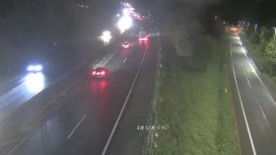
 Koseze: A2/E61, Karavanke - Ljubljana, odsek Šentvid
The landscape around Koseze is a gently rolling edge of the Ljubljana Basin, where woodland, housing and major roads meet, shaping both the built environment and local life. This northwestern Ljubljana district lies beside the road corridor between Šentvid and the city’s ring-road network, giving it a more infrastructural character than the historic centre. North of the basin rises the wooded hill of Šmarna Gora, while the Sava flows through the wider northern Ljubljana area. Koseze is also associated with Koseze Pond, a former clay-extraction site now used for recreation. In central Ljubljana, selected works by architect Jože Plečnik are inscribed on the UNESCO World Heritage List.
Generated by AI
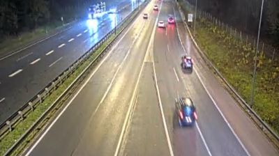
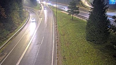
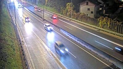

Tucked between the wooded slopes of Rožnik Hill and Ljubljana’s northwestern districts, Koseze is a place whose character is shaped by Koseze Pond and the green belt around it. Once a separate village, it is now part of the Slovenian capital but retains a quieter residential rhythm than the historic centre. The pond originated through clay extraction for a former brickyard and has become a popular local walking spot. Paths lead towards Tivoli Park and the Tivoli, Rožnik Hill and Šišenski Hill Landscape Park, where woodland reaches close to the city. Find related webcams in the surrounding Ljubljana area to build a fuller picture of the capital’s green districts.
1 webcam
Upravna Enota Ljubljana stretches from the Sava River to the wooded Dinaric foothills south of the capital, encompassing the lowlands of the Ljubljana Basin and the city’s suburban fringe. At its centre lies Ljubljana, Slovenia’s political and cultural capital, arranged along the Ljubljanica River. The riverfront is defined by the Triple Bridge and the Central Market, both closely associated with architect Jože Plečnik, while Ljubljana Castle stands on the hill above the old town. Beyond the urban core, settlements, farmland and forest connect the basin with karst country to the south. Explore nearby webcam locations that provide complementary perspectives on Ljubljana and central Slovenia.
67 webcams
Slovenia occupies a meeting point of the Alps, the Pannonian Plain, the Dinaric mountains and the Adriatic coast in south-central Europe. The Julian Alps rise in the northwest, where Triglav is the country’s highest mountain, while the Soča River is known for its clear turquoise water. Karst terrain has shaped caves such as Postojna Cave and the Škocjan Caves, a UNESCO World Heritage site. Ljubljana combines a riverside old town with works by architect Jože Plečnik; farther east, wine-growing regions and thermal springs add another dimension. Slovenian food reflects Alpine, Mediterranean and Balkan influences. Find related webcams in the surrounding area to build a fuller picture of Slovenia and the northern Adriatic.
782 webcams