 Bregaglia: Lake Sils - Piz Corvatsch
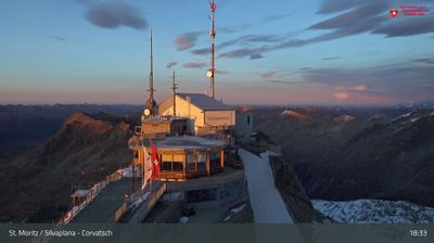
Among the places of Grisons, Maloja stands out for its position at the western end of Lake Sils, where the Upper Engadin meets Val Bregaglia. The lake, known in Romansh as Lej da Segl, is the largest of the Engadin lakes and lies amid larch and pine woodland beneath the Bernina Alps. Piz Corvatsch, rising to 3,451 metres on the lake’s southern side, is a major summit and the focus of a ski area reached from Silvaplana. Maloja has long marked the transition from the high Engadin toward Italian-speaking Bregaglia. Its late-19th-century Maloja Palace, built as a grand hotel, recalls the period when the village developed as an Alpine resort.
Generated by AI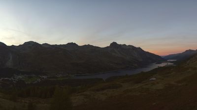

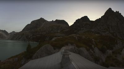
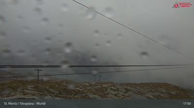
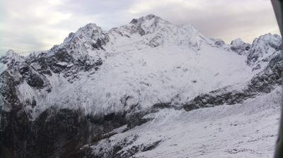

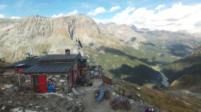

Bregaglia lies on both sides of the Maira River in Grisons, and its villages follow a steep Alpine valley from the Maloja Pass towards the Italian border. Formed in 2010 from several former communes, the municipality includes Soglio, Stampa, Vicosoprano and Castasegna. Granite slopes rise to Piz Badile, the 3,308-metre peak in the Bergell Alps whose north face is a classic Alpine climbing objective. Borgonovo was the birthplace of sculptor Alberto Giacometti, connecting this remote valley with one of the 20th century’s leading artists. Find related webcams in the surrounding area to build a fuller picture of Bregaglia and the Bergell valley.
4 webcams
The terrain of Grisons ranges from high Alpine valleys in the south to the broad Rhine valley in the north, shaping Switzerland’s largest and most linguistically diverse canton. The Inn flows through the Engadin, while the Rhine has long connected Chur, the cantonal capital, with the rest of central Europe. Romansh remains a defining regional language alongside German and Italian. The Rhaetian Railway’s Albula and Bernina lines, recognised by UNESCO, cross dramatic mountain country with remarkable engineering. Browse further webcams from the area to trace how this corner of eastern Switzerland links with neighbouring Alpine regions.
259 webcams
Switzerland stretches from the Jura Mountains in the northwest to the Alps in the south, encompassing a central plateau of cities, farms and lakes. The Rhine rises in the Swiss Alps, while Lake Geneva forms part of the country’s southwestern border. Zürich, Geneva and Basel are major urban centres, yet mountain railways and passes remain central to how many regions are experienced. Four national languages—German, French, Italian and Romansh—reflect Switzerland’s distinct cantonal identities. The Matterhorn above Zermatt is among Europe’s most recognisable peaks, and the 1291 Federal Charter is closely associated with the country’s founding tradition. Continue through nearby webcams to explore different parts of Switzerland.
1.5K webcams