 Horonobe: Sarobetsu Shitsugen
Sarobetsu Wetland defines the setting of Horonobe — a wide peatland plain that gives this part of northern Hokkaido its open, reed-covered character. Near the Sea of Japan, the wetland includes the Panke and Penke marshes and was designated a Ramsar site in 2005. Peatlands, low scrub and broad grasslands distinguish the area from Hokkaido’s more heavily forested districts. Horonobe is also home to the Japan Atomic Energy Agency’s Underground Research Laboratory, where geological research supports the study of deep geological disposal for high-level radioactive waste. Wetland conservation and scientific research share this expansive northern terrain.
Generated by AI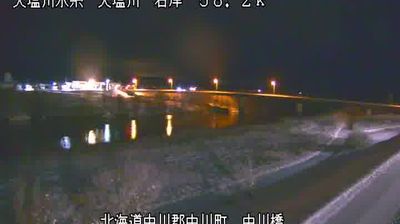
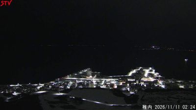


Horonobe is best known in Hokkaido for the Japan Atomic Energy Agency’s Horonobe Underground Research Center, where technologies for deep geological disposal are studied. The town lies in northern Hokkaido near the Sea of Japan and the Sarobetsu Wetland, an extensive peatland protected within Rishiri-Rebun-Sarobetsu National Park. The Sarobetsu River runs through this low-lying country before joining the Teshio River system, amid marshes, open grassland and farmland. This is a sparsely settled corner of Japan, shaped as much by wetlands and seasonal weather as by its scientific institution. View additional webcams near Horonobe to better understand how northern Hokkaido relates to its wetlands, coast and broad inland plain.
1 webcam
Volcanic mountains and broad agricultural plains define much of Hokkaido Prefecture, shaping an economy known for dairy farming, grain production and seasonal tourism. In the island’s centre, the Daisetsuzan volcanic group rises above forests and open highlands, while the Furano area is associated with lavender fields and farming country. Hokkaido is also the ancestral homeland of the Ainu, whose distinct language, crafts and traditions remain an essential part of Japan’s cultural heritage. Long snowy winters have made the prefecture a major destination for skiing, while summer brings cooler conditions than much of Japan. Discover further points of interest through webcams across Hokkaido Prefecture.
94 webcams
Among the countries of East Asia, Japan stands out for its volcanic archipelago, stretching from the cool north of Hokkaido to subtropical Okinawa. Mount Fuji, the nation’s highest mountain, rises above central Honshu, while the Pacific Ocean and the Seto Inland Sea have long shaped settlement, fishing and travel. Tokyo pairs dense urban life with major museums and neighbourhood traditions; Kyoto preserves temples, gardens and the legacy of Japan’s imperial court. Seasonal customs give journeys a changing rhythm, from spring cherry blossom viewing to autumn leaves. Regional cooking is equally varied, with sushi, ramen and local specialties reflecting coastlines, climate and agriculture. Explore nearby webcam locations that provide complementary perspectives on Japan’s islands, cities and mountain regions.
1.3K webcams