 Danderyd: Tpl Danderyds kyrka
Tucked between Stockholm’s northern suburbs and the wooded shores of Edsviken, Danderyd is a place whose character is shaped by its position on the capital’s main northern transport corridor. The E18 runs through the municipality toward Norrtälje, while the narrow-gauge Roslagsbanan railway links local stations with central Stockholm and communities in Roslagen. Yet Danderyd is more than a commuter district: its neighbourhoods combine detached homes, schools and mature woodland with access to water. Djursholm, within the municipality, developed as a villa suburb from the late 19th century, giving the area a distinctive residential identity alongside its busy routes. Edsviken’s long inlet and wooded fringe lend Danderyd a more open setting than central Stockholm while keeping it closely connected to the city.
Generated by AI
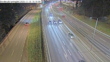
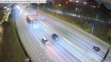
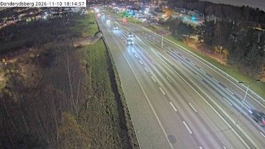
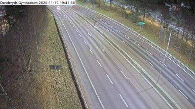

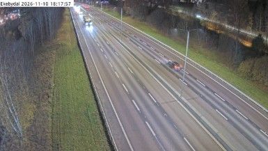
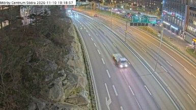
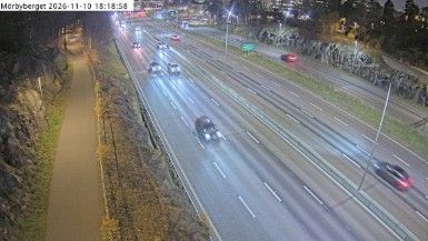


Danderyd lies along the shores of Edsviken, a Baltic inlet, where wooded residential neighbourhoods and waterfront paths meet Stockholm’s northern urban fringe. The municipality brings together Danderyd, Djursholm, Enebyberg and Stocksund, all closely connected with the capital by road and rail. Medieval Danderyd Church recalls the area’s older parish history, long before these districts became part of metropolitan Stockholm. Djursholm, developed as a garden suburb from the late 19th century, contributes villas and leafy streets to the local character. Edsviken gives the area a waterside setting while central Stockholm remains nearby. Continue with other webcams from the area to see how this part of Stockholm County connects regionally.
4 webcams
Stockholm County's terrain runs from dense urban lowlands around Stockholm in the west to wooded granite islands of the Baltic archipelago in the east, bringing city neighbourhoods and open water into close proximity. Lake Mälaren reaches the Baltic through central Stockholm, while ferries link the capital with islands farther out to sea. Gamla Stan, Stockholm’s historic core, occupies islands between the lake and the sea, and its streets lead to the Royal Palace. Vaxholm Fortress, beside a key water route toward the capital, recalls the archipelago’s strategic importance. Find related webcams in the surrounding area to build a fuller picture of Stockholm County.
321 webcams
Sweden combines Baltic coastal life with Arctic expanses in a way that reflects its position within northern Europe. Forests, lakes and long shorelines define much of the country, from Lake Vänern in the south to the Gulf of Bothnia and the mountains along the Norwegian border. Stockholm spreads across islands where Lake Mälaren meets the Baltic Sea, while the preserved 17th-century warship at the Vasa Museum recalls Sweden’s era as a major European power. Midsummer celebrations and the traditions of the Sámi people add further depth to its regional identity. Browse other webcams across Sweden to place this setting in a wider geographic context.
988 webcams