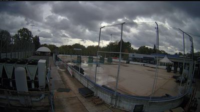
 Berlin: Tegeler See, Blickrichtung Süd-Ost
Tegeler See spans the boundary between Tegel and Konradshöhe in north-west Berlin, and its broad, island-dotted water has made this part of the capital a centre for sailing. One of Berlin’s largest lakes, it is linked to the Havel and bordered by wooded banks, marinas and waterside neighbourhoods rather than dense urban blocks. Scharfenberg, Valentinswerder and Maienwerder are among the islands that give the lake its unusually open character. On its eastern side, Schloss Tegel recalls the Humboldt family; Karl Friedrich Schinkel remodelled the former estate in Neoclassical style. Tegeler See brings a distinctly maritime dimension to Berlin’s northern districts.
Generated by AI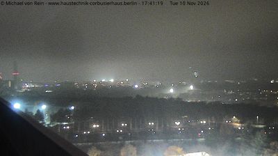
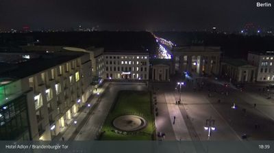
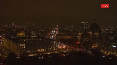


Tucked along the River Spree on the North German Plain, Berlin is a city whose character is shaped by waterways, parks and a broad, level urban expanse. Germany’s capital carries the visible marks of division and reunification, from the Brandenburg Gate to the preserved sections of the Berlin Wall. Museum Island, a UNESCO World Heritage Site, brings together major state museums in the historic centre. The East Side Gallery turns a surviving stretch of the Wall into an open-air display of murals. Explore related webcams across Berlin and Brandenburg to build a fuller picture of the German capital’s surroundings.
6 webcams
Berlin stretches from the Havel lakes in the west to the wooded districts of Köpenick in the southeast, encompassing a lowland capital shaped by rivers, parks and dense urban neighbourhoods. The Spree runs through its centre, past Museum Island and the government quarter, while the Landwehr Canal links inner-city districts. Brandenburg Gate remains the city’s best-known neoclassical monument, and preserved sections of the Berlin Wall recall the decades when the city was divided. Museums, theatres, music venues and communities from across the world give Berlin’s districts distinctly different rhythms. View additional webcams nearby to better understand how Berlin relates to Brandenburg and the surrounding lowlands.
7 webcams
Germany stretches from the North Sea and Baltic Sea coasts to the Alps on its southern border, encompassing northern plains, river valleys and forested uplands. The Rhine, Danube and Elbe have long connected its regions, while the Black Forest and Bavarian Alps give the south a more dramatic relief. Berlin’s Brandenburg Gate and Museum Island reflect the capital’s role in German history and culture. Cologne Cathedral, a UNESCO World Heritage Site, rises above the Rhine, and the Bauhaus movement, founded in Weimar in 1919, transformed modern design far beyond Germany. Regional cooking, Christmas markets and brewing traditions bring further character to daily life. Browse additional webcams from the surrounding area to extend your view of Germany.
2.8K webcams