 Auckland: NW4 Lincoln Road East
Auckland sits on the narrow isthmus between the Waitematā and Manukau harbours in northern New Zealand, where urban districts spread across volcanic ground. More than 50 volcanic cones punctuate the region; Maungawhau / Mount Eden is among its most recognisable landmarks, while Rangitoto, the youngest and largest of Auckland’s volcanic cones, rises in the Hauraki Gulf. The city’s Māori name, Tāmaki Makaurau, is often interpreted as “desired by many”, reflecting the strategic value of this harbour-linked setting. Downtown is centred on the Waitematā waterfront, with the Sky Tower forming a defining element of the central skyline. Auckland’s road and cycling networks connect suburban, commercial and industrial areas with its waterfront core.
Generated by AI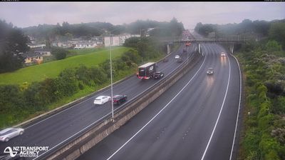
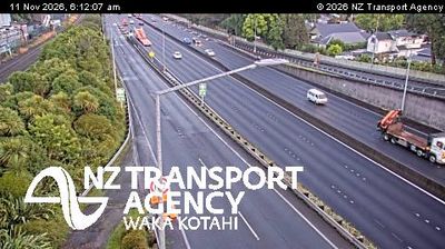
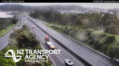
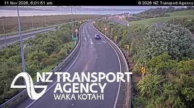
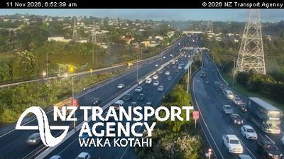

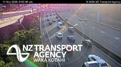

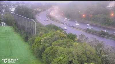
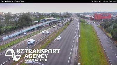

Built around the Waitematā Harbour, Auckland grew into New Zealand’s largest urban area. The city occupies a narrow isthmus between the Waitematā and Manukau harbours, with the islands of the Hauraki Gulf lying to the east. Volcanic cones punctuate its urban fabric; Maungawhau / Mount Eden is among the best-known, while the Auckland Domain contains the Auckland War Memorial Museum. Its major Māori and Pacific collections reflect the country's Polynesian foundations and later migration. Downtown ferries link the waterfront with gulf islands and North Shore communities, and the Sky Tower marks the central skyline. Browse additional webcams from the surrounding area to extend your view of Auckland and the Hauraki Gulf.
13 webcams
Among New Zealand’s regions, Auckland stands out for its urban setting between two harbours and the islands of the Hauraki Gulf. The region occupies a narrow isthmus, with Waitematā Harbour opening towards the Pacific and Manukau Harbour reaching the Tasman Sea. More than 50 volcanic cones and craters form the Auckland volcanic field; Maungawhau / Mount Eden is among its most recognisable landmarks. Auckland is also New Zealand’s largest city and a major centre of Māori and Pacific communities, reflected in its food, arts and public life. Continue to other webcams in the region to compare coastal, harbour and city settings around Auckland.
124 webcams
New Zealand combines Pacific isolation with strong ties to the wider South Pacific in a way that reflects its position between the Tasman Sea and the open Pacific Ocean. The country’s two main islands are divided by Cook Strait, while the Southern Alps run along much of the South Island and include Aoraki / Mount Cook, its highest mountain. On the North Island, volcanic terrain shapes Tongariro National Park and the central plateau; long coastlines frame cities such as Auckland and Wellington. Māori culture is central to national life, and the Treaty of Waitangi, first signed in 1840, remains a foundational document in relations between Māori and the Crown. See how New Zealand fits within the wider South Pacific by browsing webcams nearby.
471 webcams