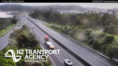
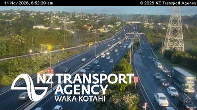
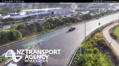
 Auckland: NW2 Gt North
Waitematā Harbour defines the setting of Auckland — together with Manukau Harbour, it frames a narrow volcanic isthmus whose coasts and ridgelines shape the city’s form. The central city stands at the northern end of this isthmus, while established suburbs and major transport corridors extend south through Newmarket and beyond. Auckland is New Zealand’s largest urban area and an important Pacific port. Its Māori name, Tāmaki Makaurau, reflects the long-standing significance of this strategic place between two harbours. The Auckland Domain, formed around the Pukekawa volcanic cone, is home to the Auckland War Memorial Museum, linking the city’s geology with one of its leading civic institutions. Multilane routes near Newmarket underline Auckland’s role as the country’s main metropolitan transport hub.
Generated by AI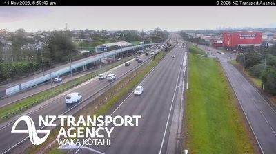
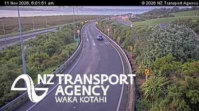
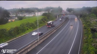
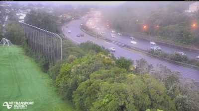




Built around the Waitematā Harbour, Auckland grew into New Zealand’s largest urban area. The city occupies a narrow isthmus between the Waitematā and Manukau harbours, with the islands of the Hauraki Gulf lying to the east. Volcanic cones punctuate its urban fabric; Maungawhau / Mount Eden is among the best-known, while the Auckland Domain contains the Auckland War Memorial Museum. Its major Māori and Pacific collections reflect the country's Polynesian foundations and later migration. Downtown ferries link the waterfront with gulf islands and North Shore communities, and the Sky Tower marks the central skyline. Browse additional webcams from the surrounding area to extend your view of Auckland and the Hauraki Gulf.
13 webcams
Among New Zealand’s regions, Auckland stands out for its urban setting between two harbours and the islands of the Hauraki Gulf. The region occupies a narrow isthmus, with Waitematā Harbour opening towards the Pacific and Manukau Harbour reaching the Tasman Sea. More than 50 volcanic cones and craters form the Auckland volcanic field; Maungawhau / Mount Eden is among its most recognisable landmarks. Auckland is also New Zealand’s largest city and a major centre of Māori and Pacific communities, reflected in its food, arts and public life. Continue to other webcams in the region to compare coastal, harbour and city settings around Auckland.
124 webcams
New Zealand combines Pacific isolation with strong ties to the wider South Pacific in a way that reflects its position between the Tasman Sea and the open Pacific Ocean. The country’s two main islands are divided by Cook Strait, while the Southern Alps run along much of the South Island and include Aoraki / Mount Cook, its highest mountain. On the North Island, volcanic terrain shapes Tongariro National Park and the central plateau; long coastlines frame cities such as Auckland and Wellington. Māori culture is central to national life, and the Treaty of Waitangi, first signed in 1840, remains a foundational document in relations between Māori and the Crown. See how New Zealand fits within the wider South Pacific by browsing webcams nearby.
471 webcams