 Saint-Cergue: HB9G
The Jura Mountains define the setting of Saint-Cergue — wooded ridges and limestone pastures give this Vaud commune its elevated, open character. The village lies on the Swiss side of the range, close to La Dôle, one of the principal summits of the Jura. This is a landscape of grazing land, conifer woodland and rocky ground rather than dense urban development. Saint-Cergue is connected with Nyon on Lake Geneva by the Nyon–St-Cergue railway, a mountain line that makes the area accessible from the lakeshore and links it to La Cure on the French border. The surrounding heights are part of the Jura’s long-distance walking country.
Generated by AI
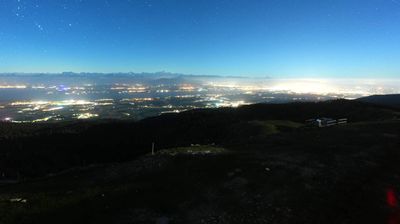
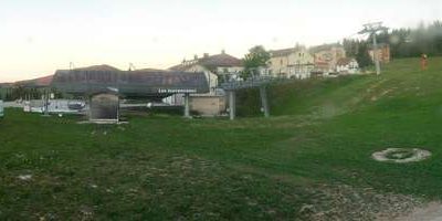

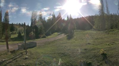
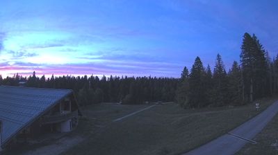
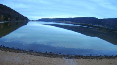
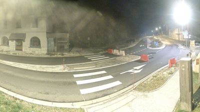
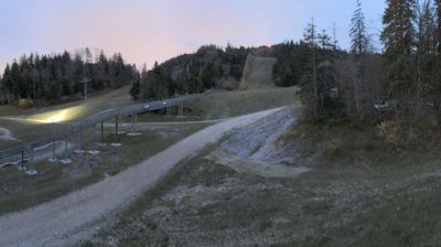

The Jura Mountains define the setting of Saint-Cergue — this high Vaud settlement spreads across wooded slopes and open pastures, with winter sports and summer walking woven into local life. Above the Lake Geneva basin, it belongs to the Jura Vaudois, a region of forests, grazing land and long ridge routes near the French border. Saint-Cergue is served by the Nyon–St-Cergue–Morez railway, a narrow-gauge line linking it with Nyon and La Cure; its trains remain an important part of the town’s everyday connections. The nearby La Dôle massif is a familiar destination for hikers, skiers and cross-country skiers. Discover how Saint-Cergue fits into the wider Vaud Jura by browsing webcams in the surrounding area.
2 webcams
Vaud has served as a French-speaking heartland within Switzerland since 1803. Its territory runs from the Jura foothills across the fertile plateau to the shores of Lake Geneva and the Vaud Alps, giving the canton a notably varied geography. Lausanne, the cantonal capital, rises above the lake and is home to the International Olympic Committee; nearby, the terraced vineyards of Lavaux are a UNESCO World Heritage site. Along the eastern lakeshore, Château de Chillon stands beside the water near Montreux, while the Alpine resorts above it lead into higher country. Winegrowing, lake transport and urban culture all shape daily life here. Move on to other webcams in the region to compare landscapes and settings around Lake Geneva.
83 webcams
Switzerland stretches from the Jura Mountains in the northwest to the Alps in the south, encompassing a central plateau of cities, farms and lakes. The Rhine rises in the Swiss Alps, while Lake Geneva forms part of the country’s southwestern border. Zürich, Geneva and Basel are major urban centres, yet mountain railways and passes remain central to how many regions are experienced. Four national languages—German, French, Italian and Romansh—reflect Switzerland’s distinct cantonal identities. The Matterhorn above Zermatt is among Europe’s most recognisable peaks, and the 1291 Federal Charter is closely associated with the country’s founding tradition. Continue through nearby webcams to explore different parts of Switzerland.
1.5K webcams