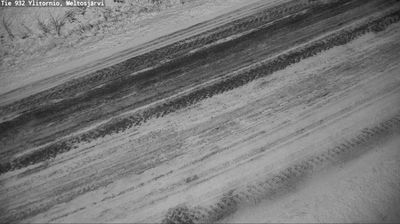
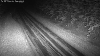
 Ylitornio: Tie 932 - Meltosjärvi - Raanujärvelle
Ylitornio combines the quiet of a sparsely settled Lapland municipality with the cross-border character of the Tornio River valley in a way that reflects its position on Finland’s Swedish frontier. The municipality extends east from the river corridor into a broad mosaic of forest, lakes and small settlements; Meltosjärvi is one of these inland localities. The Tornio River forms much of the border with Sweden, giving Ylitornio a natural connection to both countries. The municipality also includes Aavasaksa, where a survey station of the Struve Geodetic Arc forms part of a UNESCO World Heritage property. Long roads, working farmland and widely spaced homes define this part of Finnish Lapland more than urban density.
Generated by AI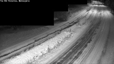
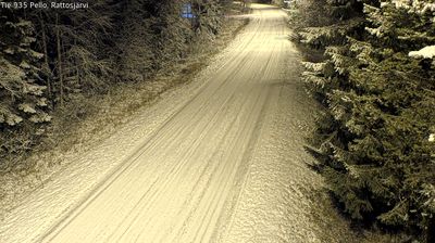
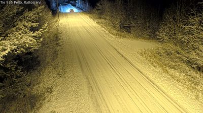
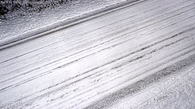
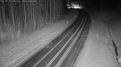


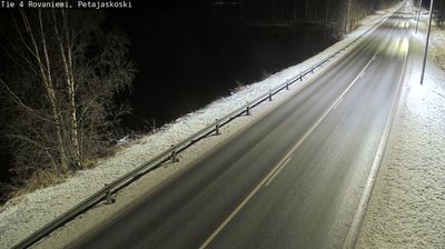


The river valley around Ylitornio is bordered by boreal forest and low hills along the Torne River, which has shaped both settlement patterns and the local economy on Finland’s frontier with Sweden. The river forms the international boundary here, giving the municipality a distinctly cross-border character rather than the feel of an isolated inland town. Aavasaksa, a prominent hill near the centre, is one of Finland’s national landscapes and has long been associated with summer travel in Lapland. Across the wider municipality, scattered settlements, forests and the broad river corridor define life through every season. Continue through nearby webcams to explore different parts of the Torne River valley and Finnish Lapland.
6 webcams
Built around river valleys, reindeer husbandry and forestry, Lapland developed into Finland’s northernmost and largest region. Long winters, forests and rounded fells define its inland character, while the Kemijoki, Finland’s longest river, drains a large part of the area. Sámi culture is central to the north of the region; Finnish settlements have also long depended on woodland work and river routes. Rovaniemi, Lapland’s administrative centre, stands at the meeting of the Kemijoki and Ounasjoki and is home to the Arktikum science centre and museum. Explore nearby webcam locations that provide complementary perspectives on Finnish Lapland.
202 webcams
The terrain of Finland ranges from low coastal plains along the Gulf of Bothnia to fells in Lapland, creating a country of forests, lakes and long northern distances. More than 180,000 lakes shape everyday life, while the Lakeland region is threaded with waterways and islands. Helsinki, on the Gulf of Finland, combines neoclassical landmarks around Senate Square with contemporary Finnish design. Farther north, the Sámi are Finland’s only recognised Indigenous people, and their culture remains closely connected to the Arctic region. In winter, snow and ice transform the north; in summer, long daylight extends outdoor life well into the evening. Continue through nearby webcams to explore different parts of Finland.
1.7K webcams