 Alavus: Tie 18 - Seinäjoelle
Tucked among the forests and lakes of South Ostrobothnia, Alavus is a place whose character is shaped by its position in Finland’s lake district and by the road links that cross it. Lake Alavudenjärvi lies beside the town centre, while smaller lakes, conifer woodland and low, settled terrain extend across the municipality. Highway 18 runs through Alavus, connecting it with Seinäjoki and the interior of western Finland; its roadside setting reflects the practical scale of this dispersed regional town. Alavus was granted town status in 1977. The municipality also includes the former municipality of Töysä, merged with Alavus in 2013, where the Tuuri retail area is a well-known domestic travel stop. Rather than a dense urban centre, Alavus is defined by water, woodland and the everyday infrastructure of rural South Ostrobothnia.
Generated by AI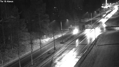
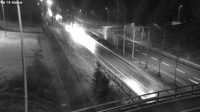
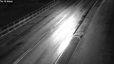

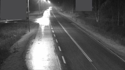

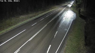
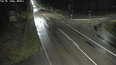

The lake-dotted, forested terrain around Alavus is typical of inland Southern Ostrobothnia, and it has shaped both the town’s dispersed settlement pattern and local economy. The town lies beside Lake Alavudenjärvi, in a region where woodland, fields and numerous small lakes define daily life and outdoor recreation. Alavus is known across Finland for Tuuri, a village in the municipality that is home to Keskinen’s Village Shop, a major retail and tourism destination recognisable by its large horseshoe-shaped entrance. Rail links also support Alavus’s role as a service centre for the rural surroundings. Browse additional webcams from the surrounding area to extend your view of Alavus and Southern Ostrobothnia.
5 webcams
South Ostrobothnia stretches from the Suomenselkä uplands in the east to the low plains beside Ostrobothnia in the west, encompassing broad cultivated river valleys and forested interior country. The region is shaped by the Kyrönjoki and Lapuanjoki rivers, whose floodplains have long supported farming and settlement. Seinäjoki, the regional centre, is known for the Aalto Centre, a civic ensemble designed by Finnish architect Alvar Aalto. Open fields, timbered farmsteads and large skies give this part of western Finland a distinctly spacious character. Browse other webcams across South Ostrobothnia to place this setting in a wider geographic context.
55 webcams
The terrain of Finland ranges from low coastal plains along the Gulf of Bothnia to fells in Lapland, creating a country of forests, lakes and long northern distances. More than 180,000 lakes shape everyday life, while the Lakeland region is threaded with waterways and islands. Helsinki, on the Gulf of Finland, combines neoclassical landmarks around Senate Square with contemporary Finnish design. Farther north, the Sámi are Finland’s only recognised Indigenous people, and their culture remains closely connected to the Arctic region. In winter, snow and ice transform the north; in summer, long daylight extends outdoor life well into the evening. Continue through nearby webcams to explore different parts of Finland.
1.7K webcams