 Teufen: Satellitenstation Wilen in St.Gallen (Schweiz)
Teufen combines the rural character of Appenzell with close ties to St Gallen in a way that reflects its position in the foothills of the Alpstein massif. The municipality occupies an elevated part of Appenzell Ausserrhoden, where settlement, pastureland and woodland form a transition between St Gallen’s wider urban area and the higher pre-Alpine country. Säntis, the highest summit in the Alpstein, is the defining mountain of this part of northeastern Switzerland. Teufen is served by the Appenzeller Bahnen railway towards St Gallen and Appenzell, an important regional connection. Its cultural setting is equally Appenzell: the canton belongs to the traditional production area for Appenzeller cheese, made from cow’s milk.
Generated by AI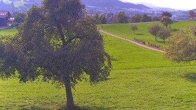
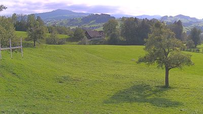
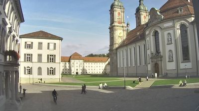
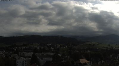
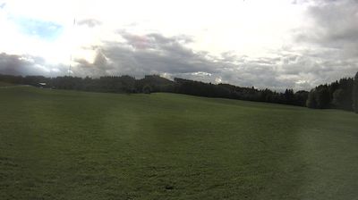
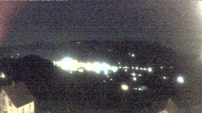


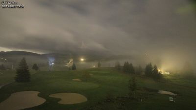


Teufen straddles a ridge between the Sitter and Goldach valleys in Appenzell Ausserrhoden, a position that places it in the northern foothills of the Appenzell Alps and on the route between St Gallen and Appenzell. The Appenzell Railways line serves the village, linking it directly with both places while the surrounding terrain remains distinctly rural. Teufen’s built fabric combines compact village streets with traditional Appenzell houses, and Zeughaus Teufen, a former armoury, now hosts exhibitions devoted to art and architecture. Local paths cross open pastureland towards the rolling uplands rather than Switzerland’s high Alpine resorts. Continue through nearby webcams to explore different parts of Teufen and Appenzell Ausserrhoden.
2 webcams
Among Switzerland’s cantons, Appenzell Ausserrhoden stands out for rolling pre-Alpine hills and a long textile tradition. In the northeast of the country, it stretches from upland pastures towards the Lake Constance basin, with the Alpstein range rising close to its southern edge. Herisau, the cantonal seat, developed as a centre of textile production; embroidery and weaving helped shape the area’s economy in the 19th century. The canton emerged in 1597 when the historic Appenzell territory divided along confessional lines, leaving Ausserrhoden predominantly Reformed. Farmhouses, grazing land and compact towns still define much of its settled countryside. Continue through nearby webcams to explore different parts of Appenzell Ausserrhoden.
14 webcams
Switzerland stretches from the Jura Mountains in the northwest to the Alps in the south, encompassing a central plateau of cities, farms and lakes. The Rhine rises in the Swiss Alps, while Lake Geneva forms part of the country’s southwestern border. Zürich, Geneva and Basel are major urban centres, yet mountain railways and passes remain central to how many regions are experienced. Four national languages—German, French, Italian and Romansh—reflect Switzerland’s distinct cantonal identities. The Matterhorn above Zermatt is among Europe’s most recognisable peaks, and the 1291 Federal Charter is closely associated with the country’s founding tradition. Continue through nearby webcams to explore different parts of Switzerland.
1.5K webcams