 Langeln: Wetter
Langeln has served as an agricultural settlement in the Harz foreland since the Middle Ages. It lies in the municipality of Nordharz in Saxony-Anhalt, amid gently rolling country between the Harz Mountains and the northern German lowlands. Detached homes, gardens and farmland give the village the spacious character typical of this rural fringe. The nearby town of Wernigerode is known for its timber-framed buildings and castle, while the Harz has long influenced settlement and travel across the boundary between upland and plain. Langeln provides a quiet introduction to the settled northern side of Germany’s northernmost low mountain range.
Generated by AI


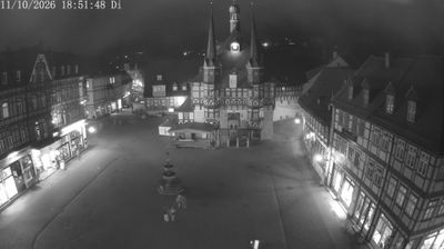
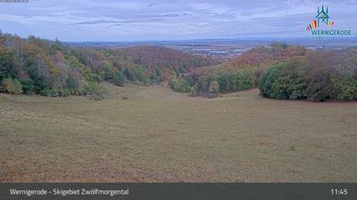

Tucked into the low, cultivated plains of Schleswig-Holstein, Langeln is a place whose character is shaped by open farmland and the quiet rural rhythm of northern Germany. It lies inland in the state between the North Sea and the Baltic Sea, away from the larger port cities and coastal resorts. Fields, hedgerows and small wooded stretches define the local setting, while Hamburg remains the region’s major urban influence. Farming has long been central to Schleswig-Holstein’s identity, alongside its maritime traditions. See how Langeln fits into the wider Schleswig-Holstein countryside by browsing webcams nearby.
1 webcam
Schleswig-Holstein blends maritime openness with rural calm in a way that reflects its position between the North Sea and the Baltic Sea. Germany’s northernmost state borders Denmark and stretches across low farmland, marshes, sandy shores and islands. The Kiel Canal crosses the region, linking the North Sea at Brunsbüttel with the Baltic near Kiel. On the west coast, the tidal flats of the Wadden Sea form part of a UNESCO World Heritage site. Lübeck’s historic centre, shaped by the Hanseatic League and Brick Gothic architecture, adds an important urban counterpoint. Browse additional webcams from the surrounding area to extend your view of Schleswig-Holstein.
129 webcams
Germany stretches from the North Sea and Baltic Sea coasts to the Alps on its southern border, encompassing northern plains, river valleys and forested uplands. The Rhine, Danube and Elbe have long connected its regions, while the Black Forest and Bavarian Alps give the south a more dramatic relief. Berlin’s Brandenburg Gate and Museum Island reflect the capital’s role in German history and culture. Cologne Cathedral, a UNESCO World Heritage Site, rises above the Rhine, and the Bauhaus movement, founded in Weimar in 1919, transformed modern design far beyond Germany. Regional cooking, Christmas markets and brewing traditions bring further character to daily life. Browse additional webcams from the surrounding area to extend your view of Germany.
2.7K webcams