 Orlova: Orlovské srdce - ROSSMANN - Prior Masaryk class - Náměstí 28. října
Developing beside coal mines, Orlová grew into a modern town of Czech Silesia. Náměstí 28. října is its contemporary civic centre, laid out with broad pedestrian paving, the Orlovské srdce water feature and everyday services including the Prior building and Rossmann. The town stands in the industrial landscape of the Ostrava Basin, where coal extraction reshaped settlements and ground levels for generations. That legacy is especially clear in Old Orlová: the Church of the Nativity of the Virgin Mary, built in the early 20th century, was affected by mining subsidence and is known for its pronounced lean. Together, the central square and older district reflect a town repeatedly remade by industry.
Generated by AI
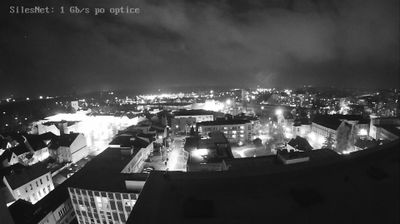
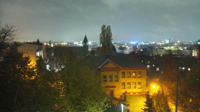
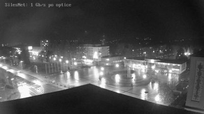
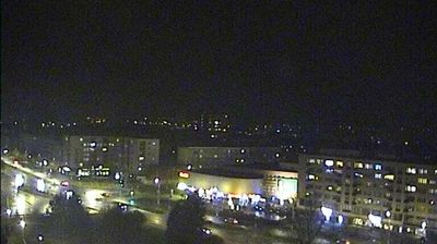


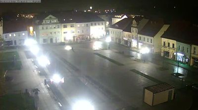
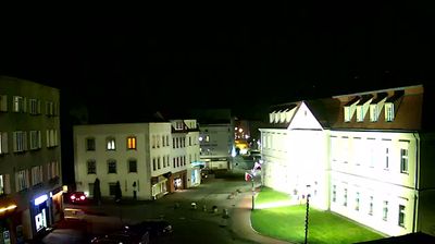

Orlová combines the scale of a Silesian town with the legacy of heavy industry in a way that reflects its position in the Ostrava–Karviná Coal Basin of northeastern Czechia. Coal mining reshaped both the local economy and the ground beneath the city; subsidence altered the historic core of Orlová-Město. Its most recognisable monument is the Church of the Nativity of the Virgin Mary, a Neo-Gothic building whose pronounced tilt records that mining history. Today Orlová forms part of the urban belt between Ostrava and Karviná, while its older district preserves the town’s Silesian identity. Find related webcams in the surrounding area to build a fuller picture of Orlová and the Ostrava–Karviná region.
1 webcam
Moravian-Silesian Region combines an industrial legacy with mountain terrain in a way that reflects its position between the historic lands of Moravia and Silesia on Czechia’s northeastern frontier. Ostrava, its largest city, developed around coal mining and ironmaking; the former Vítkovice ironworks, now the Dolní Vítkovice cultural complex, remain a defining reminder of that era. Beyond the urban basin, the Beskydy range rises in the southeast, while the Oder has its source in the Oderské vrchy. Opava adds another thread of Silesian identity through its historic centre and cultural life. Browse additional webcams from the surrounding area to extend your view of the Moravian-Silesian Region.
118 webcams
The terrain of Czechia ranges from fertile lowlands in southern Moravia to mountain ridges along the northern frontier, giving this Central European country a distinctly varied geography. The Vltava runs through Prague before joining the Elbe, while the Krkonoše form part of the border with Poland and include Sněžka, Czechia’s highest mountain. Prague’s historic centre, with Prague Castle and Charles Bridge, reflects the city’s long role as a political and cultural centre. Beyond the capital, Bohemia is known for spa towns and brewing, and Moravia for wine-growing traditions. View additional webcams nearby to better understand how Czechia relates to its Central European surroundings.
1.4K webcams