 Korsholm: Raippaluoto Bridge - Ledsten
Raippaluoto Bridge is best known within Finland for being the country’s longest bridge. Completed in 1997, the 1,045-metre cable-stayed crossing carries Regional Road 724 over Replot Strait, joining the mainland part of Korsholm with Raippaluoto island. Its tall pylon brings a defining piece of modern infrastructure to the low, wooded Kvarken Archipelago. This Gulf of Bothnia coast forms Finland’s part of the Kvarken Archipelago World Heritage Site, recognised for continuing post-glacial land uplift. Ledsten lies near the crossing on the mainland side, while the bridge provides an essential road link for Replot’s island communities and routes onward through the archipelago.
Generated by AI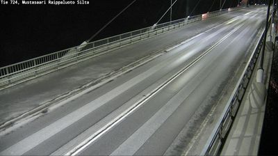

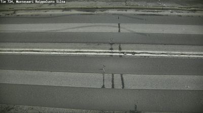
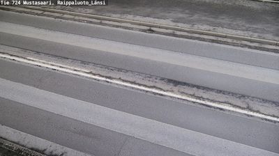

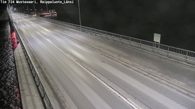

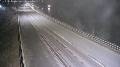

Built around long-established coastal settlements on the Kvarken coast, Korsholm grew into a bilingual municipality surrounding the city of Vaasa. It occupies a broad stretch of Ostrobothnia on the Gulf of Bothnia, where low islands, inlets and a shifting shoreline reflect land uplift following the Ice Age. Much of the Kvarken Archipelago lies within the municipality; since 2006, it has formed a transnational UNESCO World Heritage site with Sweden’s High Coast. The 1,045-metre Replot Bridge links the mainland to Replot Island, while Swedish is the majority language alongside Finnish. Trace how Korsholm connects with the Kvarken coast and Ostrobothnia by browsing webcams nearby.
19 webcams
Ostrobothnia stretches from the Gulf of Bothnia coast to the inland forest belt, encompassing broad farmland, river valleys and a low, gradually rising shoreline. Vaasa, the regional centre, reflects the area’s bilingual Finnish and Swedish-speaking character. Offshore, the Kvarken Archipelago is part of the UNESCO-listed High Coast/Kvarken Archipelago, recognised for land uplift that continues to reshape its shallow waters and islands. The coast is also linked by ferry to Umeå in Sweden, underlining Ostrobothnia’s long connection with the wider Gulf of Bothnia. Discover other points of interest through webcams located across Ostrobothnia.
81 webcams
The terrain of Finland ranges from low coastal plains along the Gulf of Bothnia to fells in Lapland, creating a country of forests, lakes and long northern distances. More than 180,000 lakes shape everyday life, while the Lakeland region is threaded with waterways and islands. Helsinki, on the Gulf of Finland, combines neoclassical landmarks around Senate Square with contemporary Finnish design. Farther north, the Sámi are Finland’s only recognised Indigenous people, and their culture remains closely connected to the Arctic region. In winter, snow and ice transform the north; in summer, long daylight extends outdoor life well into the evening. Continue through nearby webcams to explore different parts of Finland.
1.7K webcams