 Ceska Lipa: Náměstí T. G. Masaryka
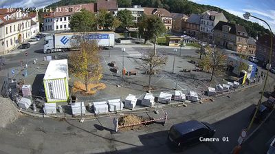
Among the towns of the Liberec Region, Česká Lípa stands out for its broad historic centre focused on Náměstí T. G. Masaryka. The square is the city’s principal civic space, marked by a geometric paving pattern, rows of historic townhouses and the town hall with its tower. Česká Lípa lies on the Ploučnice River in northern Bohemia, between the Lusatian Mountains and the Kokořínsko area. The square is named for Tomáš Garrigue Masaryk, Czechoslovakia’s first president, and continues to serve local services, public gatherings and daily town life. Its ordered layout and low-rise architecture give the centre a distinct identity within the wooded uplands of the Czech north.
Generated by AI



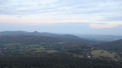
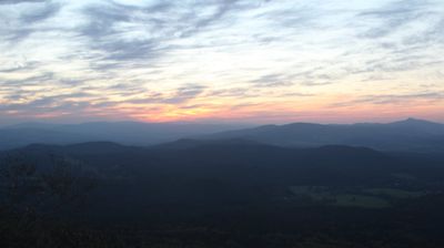


Built around Lipý Castle beside the Ploučnice River, Česká Lípa grew into the administrative and cultural centre of the Českolipsko area in northern Bohemia. The moated castle, now a ruin, recalls the medieval settlement associated with the lords of Lipá, and its grounds host cultural events. T. G. Masaryk Square anchors the historic centre, with the Renaissance Red House and the former Augustinian monastery, home to the regional museum and gallery. Textile production shaped the town’s development during the 19th century. The surrounding region connects the sandstone country of Kokořínsko with the nearby Lusatian Mountains. Discover other points of interest through webcams located across Česká Lípa and the Liberec Region.
2 webcams
Liberec Region is best known in Czechia for Ještěd, the mountain above Liberec crowned by its unmistakable hotel and television tower. In the country’s north, the region reaches from the Jizera Mountains towards the Krkonoše and Lusatian Mountains, while the Nisa River runs through Liberec and continues north into Poland and Germany. Liberec, the regional capital, developed as an important textile-manufacturing centre; its 19th-century Town Hall remains one of the city’s defining buildings. Borderland geography gives the area a distinctly Central European character, with mountain resorts, forest roads and historic towns close together. Browse additional webcams from the surrounding area to extend your view of Liberec Region.
112 webcams
The terrain of Czechia ranges from fertile lowlands in southern Moravia to mountain ridges along the northern frontier, giving this Central European country a distinctly varied geography. The Vltava runs through Prague before joining the Elbe, while the Krkonoše form part of the border with Poland and include Sněžka, Czechia’s highest mountain. Prague’s historic centre, with Prague Castle and Charles Bridge, reflects the city’s long role as a political and cultural centre. Beyond the capital, Bohemia is known for spa towns and brewing, and Moravia for wine-growing traditions. View additional webcams nearby to better understand how Czechia relates to its Central European surroundings.
1.4K webcams