 Baltimore: Northeast View
Baltimore has served as a major port in Maryland since the 18th century. It developed on the Patapsco River, whose tidal harbor links the city with Chesapeake Bay and the Atlantic. Fort McHenry, guarding the harbor approach, withstood a British bombardment in 1814; Francis Scott Key’s poem about that battle supplied the words of “The Star-Spangled Banner.” Baltimore’s identity also rests on brick rowhouse neighborhoods, industrial waterfronts and the Inner Harbor, where former port infrastructure has been adapted for public attractions. Shipbuilding, manufacturing and immigration have all shaped this long-established Atlantic city.
Generated by AI

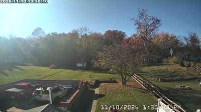
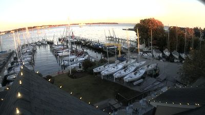


Baltimore sits on the tidal Patapsco River in Maryland, United States, where the Inner Harbor marks the city’s historic waterfront. The river flows into Chesapeake Bay, placing Baltimore within one of the Atlantic coast’s major estuarine systems. At Fort McHenry, the 1814 Battle of Baltimore inspired Francis Scott Key’s poem that became the U.S. national anthem. The brick streets of Fells Point recall the port’s maritime and immigrant past, while the National Aquarium anchors the redeveloped harbor district. Baltimore’s character combines working-waterfront roots, major museums and neighborhoods shaped by successive communities. Continue with other webcams from the area to see how this part of Maryland connects across the Chesapeake Bay region.
2 webcams
Maryland is widely known in the United States for Chesapeake Bay, the vast estuary that shapes much of its eastern shore. The state extends from Atlantic beaches and tidal wetlands across the bay’s low-lying Eastern Shore to rolling Piedmont country and the forested Appalachian west. Baltimore, its largest city, developed around a major harbor on the Patapsco River; Annapolis, the capital, is home to the United States Naval Academy. Seafood, particularly blue crabs, is central to Maryland’s food traditions, while the Chesapeake and Ohio Canal follows part of the Potomac River corridor. See Maryland in its wider Mid-Atlantic setting by browsing webcams nearby.
28 webcams
The Atlantic, Pacific and Gulf coasts define much of the United States — their ports, fisheries and trade routes have long tied the country’s economy to the wider world. Between them, the Rocky Mountains, Great Plains and Mississippi River basin form sharply different regions, from high western ranges to broad agricultural heartlands. Cities carry much of the national story: New York’s Statue of Liberty, a gift from France dedicated in 1886, remains an enduring symbol, while Washington, DC concentrates major federal institutions. Indigenous nations have shaped these lands for millennia, and their living cultures remain essential to the country’s identity. Find related webcams in the surrounding areas to build a fuller picture of the United States.
32K webcams