 Wald im Pinzgau: Bergstation Gipfelbahn - Königsleitenspitze

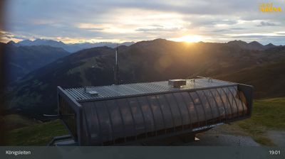
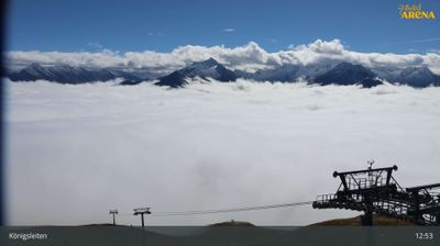
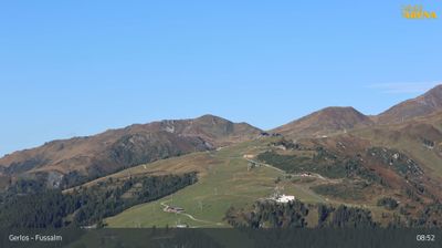
The Kitzbühel Alps define the setting of Königsleitenspitze — broad, treeless ridges and open alpine slopes shape the high ground above Wald im Pinzgau. Reaching 2,315 metres, the summit stands on the Salzburg–Tyrol border beside Königsleiten, with the Gipfelbahn Königsleiten providing lift access into the Zillertal Arena. This linked ski area extends across mountain terrain around the Ziller Valley and Pinzgau, while marked summer paths cross the upper slopes. A summit cross crowns the ridge, following a familiar Alpine tradition that gives many Austrian peaks a spiritual and commemorative role. The terrain here is defined less by a town centre than by lifts, mountain pastures and long ridgelines.
Generated by AI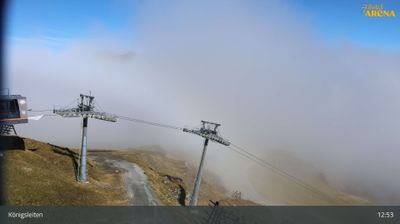
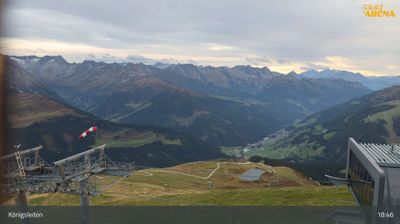
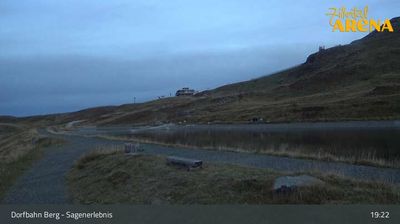
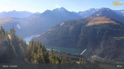
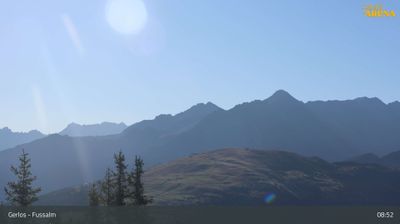

Gemeinde Wald im Pinzgau lies along the upper Salzach valley, where the broad valley floor gives way to high Alpine slopes in Salzburg’s western Pinzgau. The municipality includes settlements around Wald and reaches toward Königsleiten near the Gerlos Pass, a route connecting Salzburg with Tyrol. The narrow-gauge Pinzgauer Lokalbahn follows the valley, linking the area with Zell am See and Krimml and reflecting the importance of rail travel in this mountain corridor. Woodland, pasture and working farms remain part of the local setting, while the Hohe Tauern rise to the south. Discover other points of interest through webcams located across Salzburg’s Pinzgau.
11 webcams
Salzburg is renowned in Austria for its UNESCO-listed Baroque capital and the musical legacy of Wolfgang Amadeus Mozart. Beyond the city, the Salzach runs south through broad valleys and market towns before the land rises into the Northern Limestone Alps and the Hohe Tauern. The province includes much of Hohe Tauern National Park, Austria’s largest national park, where high alpine terrain meets traditional pasture farming. Salt shaped Salzburg’s prosperity for centuries, while Hohensalzburg Fortress remains a defining landmark above the historic centre. Winter sports and summer hiking bring out the contrast between river valleys and mountain country. Explore other webcams in the region to compare landscapes and settings around Salzburg.
413 webcams
Austria stretches from the Bohemian Massif along its northern edge to the Carnic Alps on the Italian border, encompassing high Alpine ranges and the Danube lowlands. The Danube links cities including Linz and Vienna, while the Grossglockner, at 3,798 metres, is the country’s highest mountain. Vienna developed for centuries as the seat of the Habsburg court, leaving imperial architecture around the Hofburg and Schönbrunn Palace. Salzburg is closely associated with Wolfgang Amadeus Mozart, who was born there in 1756. Alpine Tyrol, wine-growing areas east of Vienna and the lakes of Salzkammergut add markedly different regional identities. Browse other webcams across Austria to place this setting in a wider geographic context.
3.1K webcams