 Opfikon: Turm von Opfikon
The landscape around Opfikon is flat, densely built land in the Glatt Valley, which has shaped both the built environment and local life. The municipality lies north of Zurich along the River Glatt, where the historic settlement of Opfikon has grown together with Glattbrugg and Oberhausen. Its Reformed Church, marked by a familiar clock tower, anchors the old village centre amid residential streets. Today Opfikon forms part of the Zurich urban area and borders Zurich Airport, bringing housing, services and transport infrastructure into close proximity. The river corridor nevertheless remains an important thread through this intensely developed part of the canton.
Generated by AI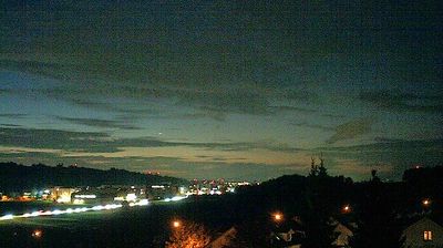
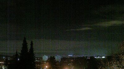
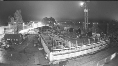

The landscape around Opfikon is the flat, intensely built-up floor of the Glatt Valley, which has shaped both the municipality’s compact urban form and its place in Zurich’s service economy. The Glatt River gives the valley its name and runs through this northern edge of the Zurich metropolitan area. Opfikon brings together the older settlement of Opfikon, the transport-oriented district of Glattbrugg and the planned Glattpark quarter. Its proximity to Zurich Airport and rail connections at Glattbrugg has made it a practical base for offices, hotels and commuters rather than a separate historic centre. View additional webcams nearby to better understand how Opfikon and the Glatt Valley relate to the Zurich region.
1 webcam
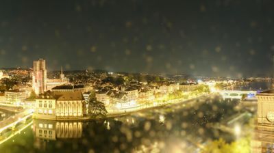
Built around a crossing on the Limmat River, Zurich grew into Switzerland’s largest city and one of Europe’s important financial centres. The city lies where the Limmat leaves Lake Zurich, with the wooded Uetliberg ridge rising to the west and the airport district extending northward. Its compact old town preserves lanes and guild houses on both banks of the river, while the Romanesque Grossmünster and the Fraumünster, renowned for stained-glass windows by Marc Chagall, mark the historic centre. Zurich’s museums, universities and lakeside promenades give the city a role that reaches well beyond banking. Explore additional webcams nearby to see how Zurich connects with Lake Zurich, the Limmat Valley and the Swiss Plateau.
62 webcams
Switzerland stretches from the Jura Mountains in the northwest to the Alps in the south, encompassing a central plateau of cities, farms and lakes. The Rhine rises in the Swiss Alps, while Lake Geneva forms part of the country’s southwestern border. Zürich, Geneva and Basel are major urban centres, yet mountain railways and passes remain central to how many regions are experienced. Four national languages—German, French, Italian and Romansh—reflect Switzerland’s distinct cantonal identities. The Matterhorn above Zermatt is among Europe’s most recognisable peaks, and the 1291 Federal Charter is closely associated with the country’s founding tradition. Continue through nearby webcams to explore different parts of Switzerland.
1.1K webcams