 Grindelwald: Grindelwald - Dorf - Wetterhorn
The Bernese Alps define the setting of Grindelwald — steep valleys and high summits give the village its emphatically vertical character. Wetterhorn, rising to 3,692 metres, is among the most recognisable peaks above the settlement, with rock faces rising over the eastern side of the valley. Grindelwald Dorf is the village centre, where hotels, shops and public transport serve a dispersed community of chalets and farm buildings. The village developed into an international mountaineering destination in the 19th century and remains a principal base for the Jungfrau region. Rail access reaches Kleine Scheidegg, while cableways and mountain routes lead into the surrounding slopes. Meadows and woodland still run directly into the built-up valley floor, giving Grindelwald a distinctly Alpine scale.
Generated by AI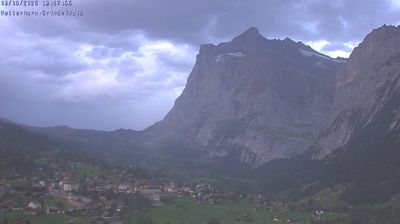


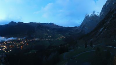
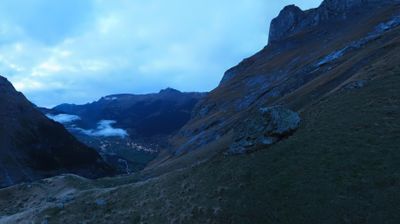

Grindelwald occupies a broad Alpine valley beside the Black Lütschine in the Bernese Oberland. The village sits beneath the Eiger, whose north face has made it a landmark of Alpine climbing; the Wetterhorn and the glaciers above the valley complete its high-mountain setting. Grindelwald is linked to Kleine Scheidegg, the pass below the Eiger, Mönch and Jungfrau, by mountain railways and lifts. From there, the Jungfrau Railway has carried passengers through the Eiger to Jungfraujoch since 1912. Alongside its international resort life, the community retains the pastures, cattle farming and timber-built houses of the Bernese Alps. Find related webcams in the surrounding Bernese Oberland to build a fuller picture of Grindelwald.
21 webcams
Built around the Aare River and routes across the Swiss Plateau, Bern grew into a canton connecting the federal capital with the Bernese Oberland. Its territory extends from Jura foothills and farmland through the Aare valley to the high Alps around the Eiger, Mönch and Jungfrau. The city of Bern, Switzerland’s federal capital, preserves an Old Town inscribed on UNESCO’s World Heritage List, while Thun and Interlaken lead towards Lakes Thun and Brienz. Urban institutions, dairy farming and established alpine resorts give the canton a notably broad Swiss character. View additional webcams nearby to better understand how Bern relates to its Alpine and plateau surroundings.
236 webcams
Switzerland stretches from the Jura Mountains in the northwest to the Alps in the south, encompassing a central plateau of cities, farms and lakes. The Rhine rises in the Swiss Alps, while Lake Geneva forms part of the country’s southwestern border. Zürich, Geneva and Basel are major urban centres, yet mountain railways and passes remain central to how many regions are experienced. Four national languages—German, French, Italian and Romansh—reflect Switzerland’s distinct cantonal identities. The Matterhorn above Zermatt is among Europe’s most recognisable peaks, and the 1291 Federal Charter is closely associated with the country’s founding tradition. Continue through nearby webcams to explore different parts of Switzerland.
1.5K webcams