Underhill
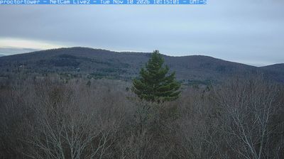
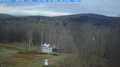
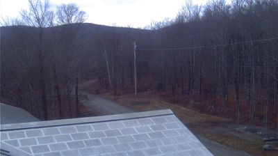
Underhill occupies the western foothills of the Green Mountains beneath Mount Mansfield in northern Vermont. Brown's River descends from the mountain through this rural town, where farms, woods and small settlements extend across the lower slopes. Mount Mansfield rises to 4,393 feet, making it Vermont's highest point, and its western side is closely associated with Underhill State Park. The park is a key access point for routes to the summit ridge, including the Long Trail, a 273-mile hiking route completed in 1930 and maintained by the Green Mountain Club. Underhill Center preserves the area's intimate, local scale amid the mountains. Discover other points of interest through webcams located across Underhill and northern Vermont. Generated by AI
3 webcams


Featured webcams
Popular webcams
Recently added webcams
Explore other webcams in Underhill