Area D (Sproat Lake)
Area D straddles Great Central Lake in the forested interior of Vancouver Island, British Columbia, where the waterway and surrounding working forests have fostered a dispersed, road-linked settlement pattern. Great Central Lake feeds the Stamp River, whose course continues to the Somass River and Alberni Inlet at Port Alberni. Forestry has long been central to the Alberni Valley’s economy, while the lake connects this inland district to one of the island’s Pacific watersheds. Browse related webcams around the Alberni Valley for a broader sense of central Vancouver Island. Generated by AI
5 webcams


Featured webcams
Popular webcams
Recently added webcams
Explore other webcams in Area D (Sproat Lake)

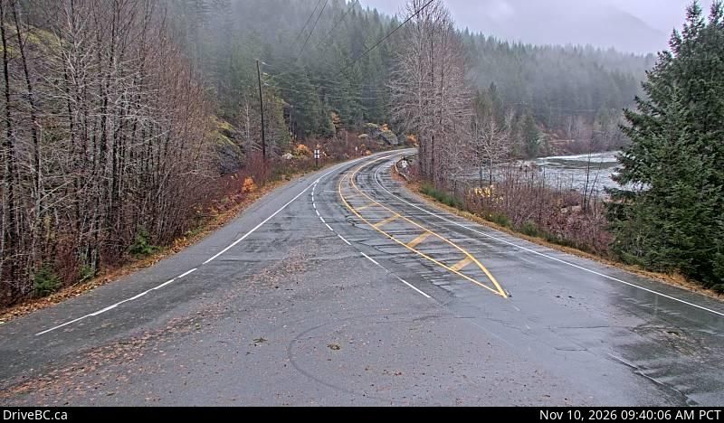
Area D (Sproat Lake): Highway 4 about 37 km west of Port Alberni at turn off for Taylor River Rest Area, looking east

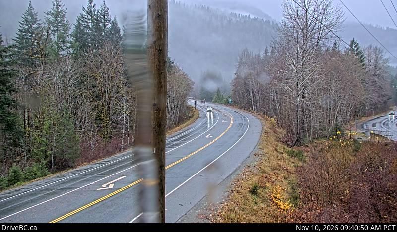
Area D (Sproat Lake): Highway 4 about 37 km west of Port Alberni at turn off for Taylor River Rest Area, looking west
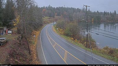
Area D (Sproat Lake): Highway 4 at Tsuma-as Drive near the Riverbend Bridge, looking west
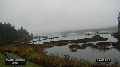
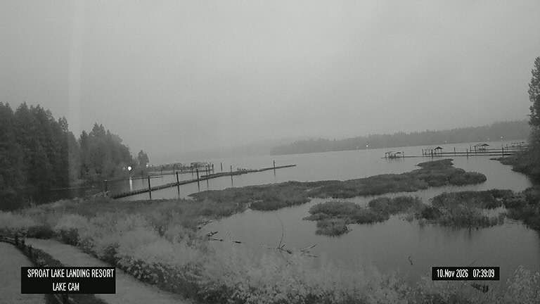
Area D (Sproat Lake): Sproat Lake Landing Resort
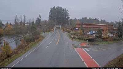
Area D (Sproat Lake): Highway 4 at Tsuma-as Drive near the Riverbend Bridge, looking east