Area F (Cherry Creek)
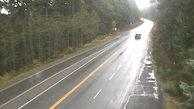
Area F has functioned as a rural electoral area in British Columbia’s Alberni-Clayoquot Regional District since the 1960s. Set on central Vancouver Island, it covers forested country inland from Alberni Inlet, with the Beaufort Range rising to the northeast. Its scattered communities are closely linked to Port Alberni, the Alberni Valley’s service centre and a city shaped by forestry and its deep-water inlet. The surrounding valley is within the traditional territory of the Hupacasath First Nation, whose presence remains integral to the area’s identity. View additional webcams nearby to better understand how Area F on Vancouver Island relates to its surroundings. Generated by AI
1 webcam


Recently added webcams
Explore other webcams in Area F (Cherry Creek)