Mezhdurechensk
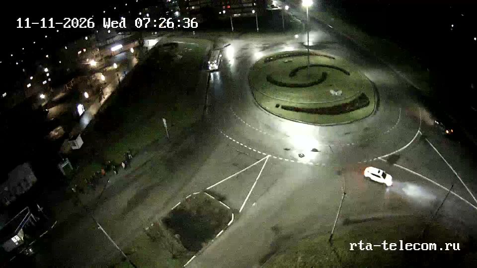
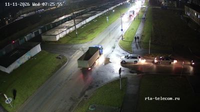
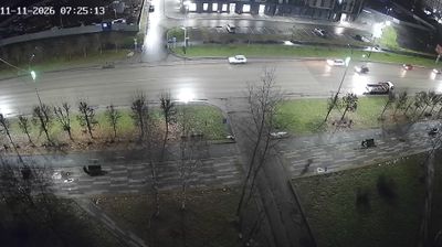
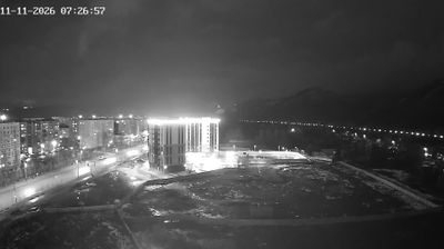
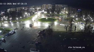
The landscape around Mezhdurechensk is a confluence plain where the Usa meets the Tom, framed by the foothills of the Kuznetsk Alatau, which has shaped both the city’s layout and its coal-based economy. Set in southern Kemerovo Oblast–Kuzbass, the city fills the land between its two defining rivers; its Russian name translates as “between the rivers.” Mezhdurechensk expanded alongside development of the Kuzbass coalfields and was granted city status in 1955. Mining remains integral to the local economy, while the Tom, the Usa and nearby taiga set an industrial city against a mountain-fringe backdrop. See how Mezhdurechensk fits into southern Kuzbass by browsing webcams nearby. Generated by AI
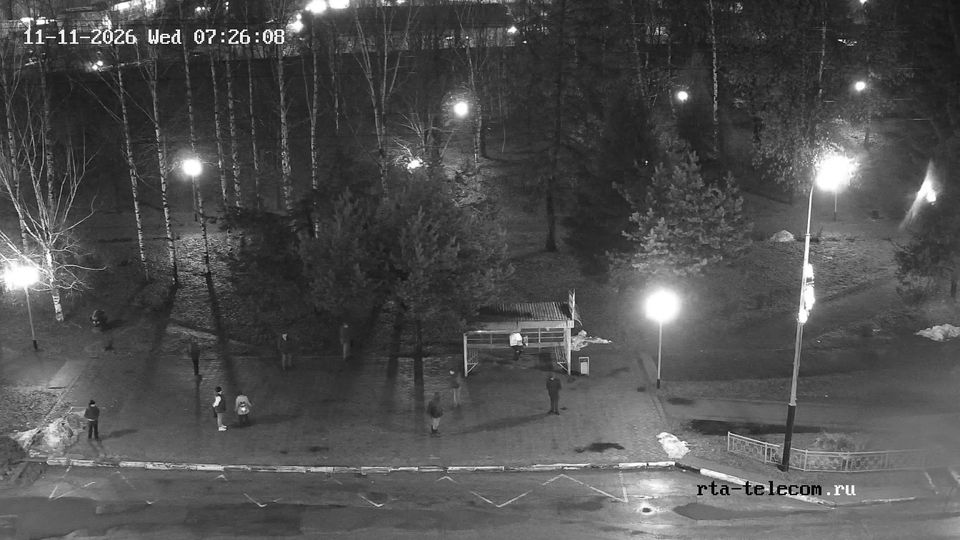
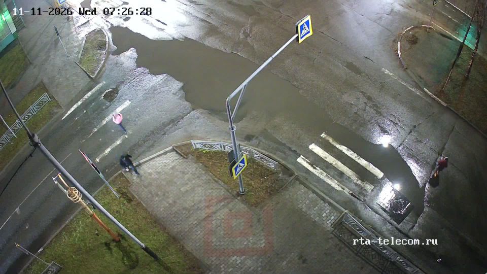
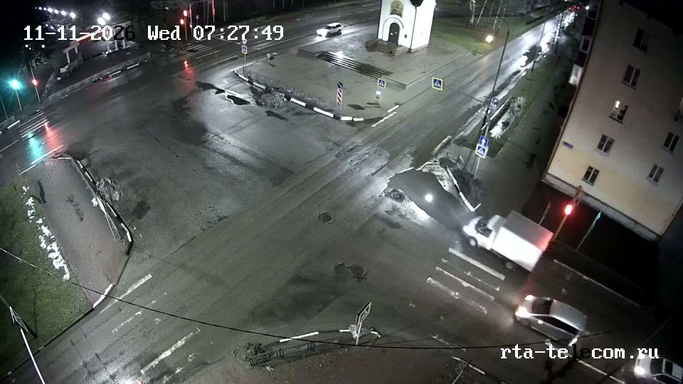
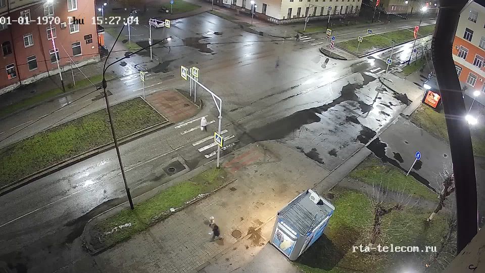
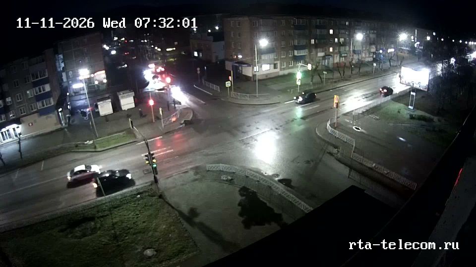
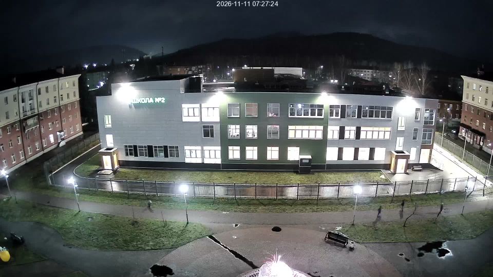
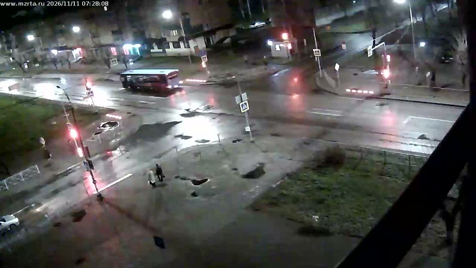

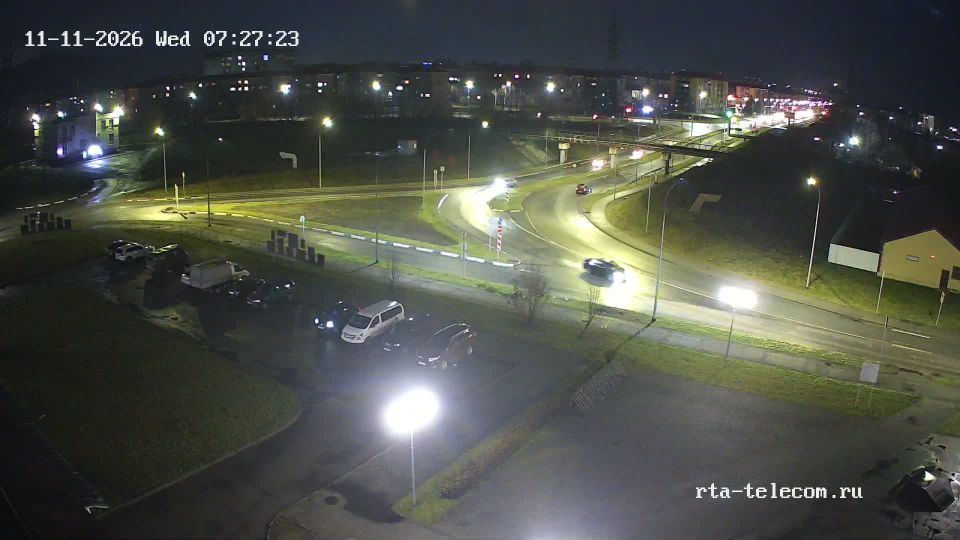
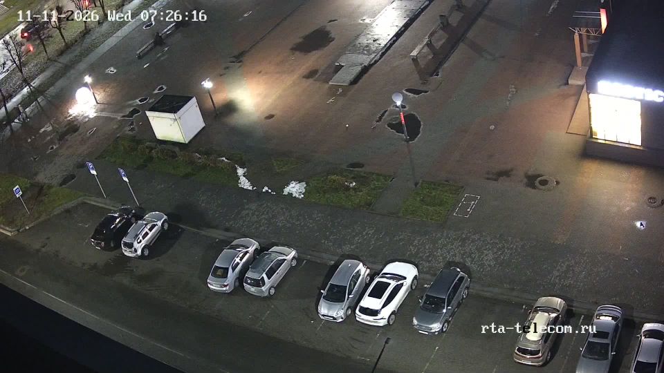
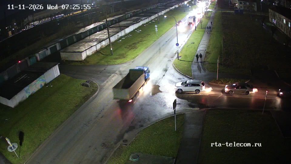
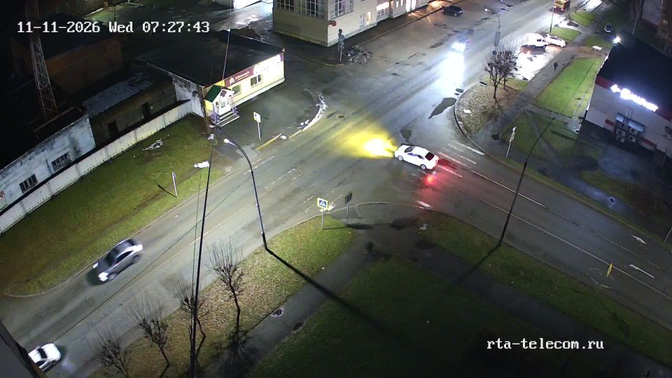
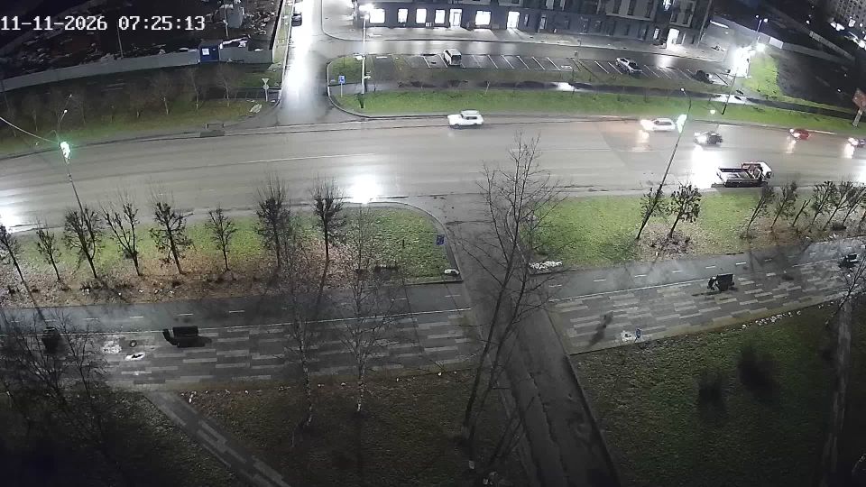
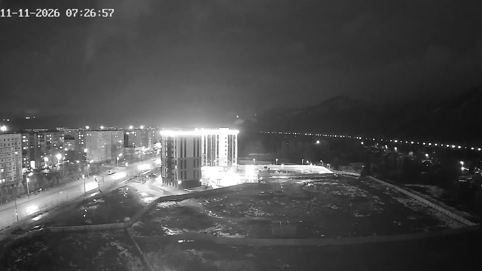

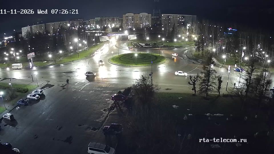

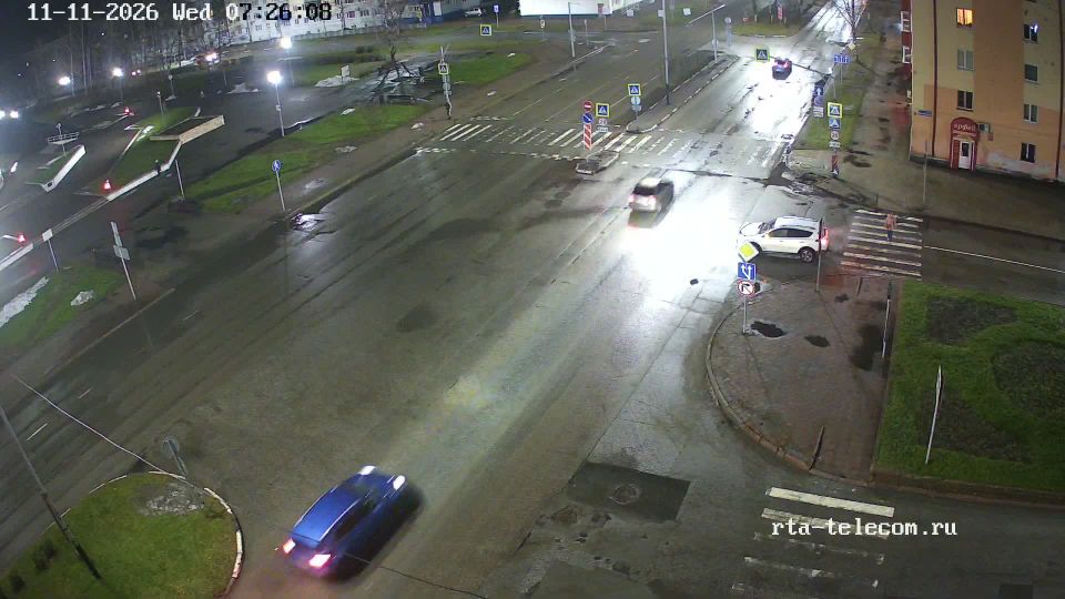
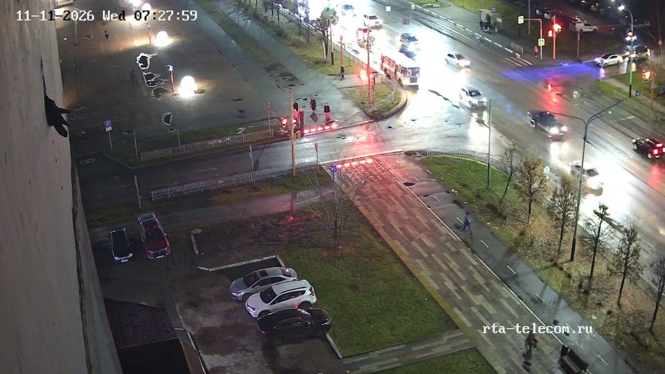
Featured webcams
Popular webcams
Recently added webcams
Explore other webcams in Mezhdurechensk

Mezhdurechensk
Mezhdurechensk

Mezhdurechensk
Mezhdurechensk
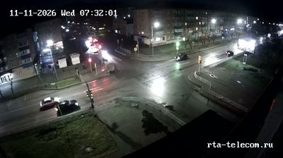
Mezhdurechensk
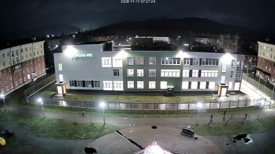
Mezhdurechensk

Mezhdurechensk

Mezhdurechensk
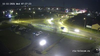
Mezhdurechensk
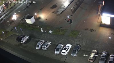
Mezhdurechensk
Mezhdurechensk

Mezhdurechensk
Mezhdurechensk
Mezhdurechensk

Mezhdurechensk
Mezhdurechensk

Mezhdurechensk
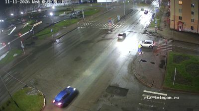
Mezhdurechensk
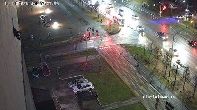
Mezhdurechensk
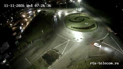
Mezhdurechensk: 50 Let Vlksm
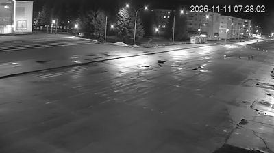
Mezhdurechensk
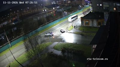
Mezhdurechensk

Mezhdurechensk

Mezhdurechensk

Mezhdurechensk
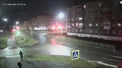
Mezhdurechensk
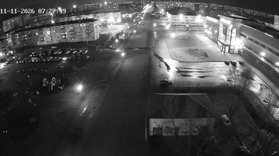
Mezhdurechensk
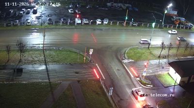
Mezhdurechensk
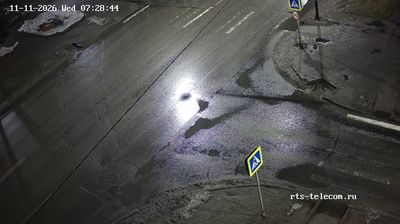
Mezhdurechensk
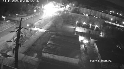
Mezhdurechensk

Mezhdurechensk: Ulitsa Kuznetskaya
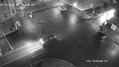
Mezhdurechensk

Mezhdurechensk

Mezhdurechensk