Madibeng Local Municipality
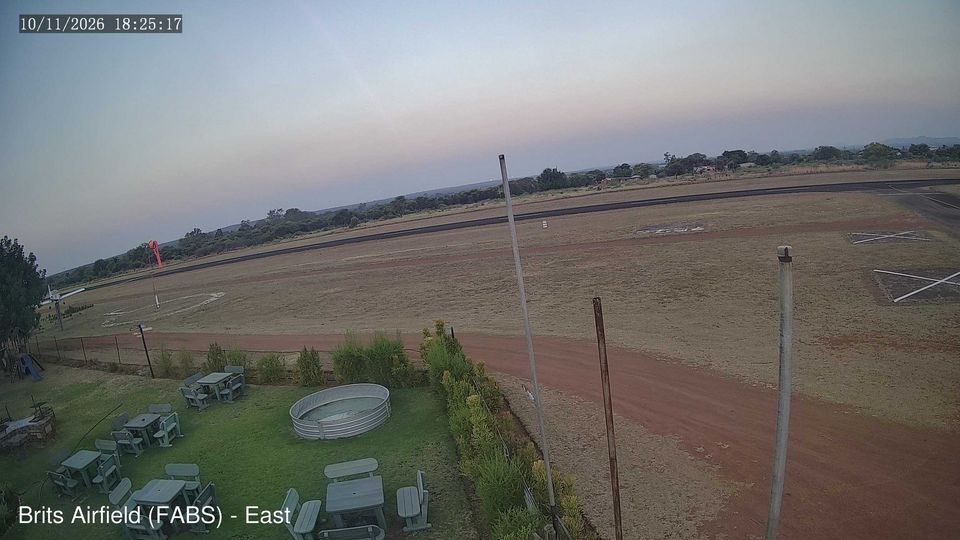
The landscape around Madibeng Local Municipality is a broad mix of bushveld, grassland and farmland on South Africa’s interior plateau, which has shaped both dispersed settlement and an economy linked to agriculture, mining and services. In North West’s Bojanala Platinum District, the municipality extends south towards the Magaliesberg, while Hartbeespoort Dam on the Crocodile River is among its best-known recreational areas. Madibeng is a Setswana name meaning “place of water”, an apt reference in an area associated with dams, rivers and irrigated land. Brits serves as the municipal seat and a regional service centre. Move on to other webcams in North West to compare bushveld plains and Magaliesberg settings around Madibeng. Generated by AI

Featured webcams

Popular webcams
Recently added webcams
Explore other webcams in Madibeng Local Municipality