Leon Valley
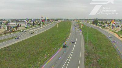
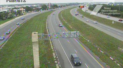
Tucked along Leon Creek on San Antonio’s northwest side, Leon Valley is a place whose character is shaped by its position within the wider metropolitan area. Incorporated in 1952, it has remained an independent municipality rather than a San Antonio neighbourhood, with its own civic identity amid extensive suburban development. Bandera Road, part of Texas State Highway 16, forms the city’s principal commercial route and leads northwest towards the Texas Hill Country. Loop 410 provides a direct connection with other parts of San Antonio, while Raymond Rimkus Park supplies local recreational space. Explore nearby webcam locations that provide complementary perspectives on Leon Valley and northwest San Antonio. Generated by AI
2 webcams


Featured webcams
Popular webcams
Recently added webcams
Explore other webcams in Leon Valley