Pietrapertosa
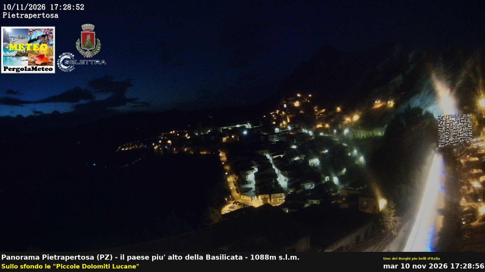
Pietrapertosa occupies a rocky spur in the Lucanian Dolomites of Basilicata. At 1,088 metres, it is Basilicata’s highest municipality, with a stone-built centre rising beneath jagged sandstone outcrops. The village stands within the Gallipoli Cognato Piccole Dolomiti Lucane Regional Park, an area of woods, ravines and distinctive rock formations. Above the houses are the remains of a Norman-Swabian castle, while the Arabata quarter retains narrow lanes fitted into the slope. Pietrapertosa is also one end of Volo dell’Angelo, a zip line linking it with Castelmezzano. View additional webcams nearby to better understand how Pietrapertosa relates to the Lucanian Dolomites. Generated by AI

Featured webcams

Popular webcams
Recently added webcams
Explore other webcams in Pietrapertosa