Alins
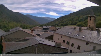
Alins lies along the Noguera de Vallferrera in the Catalan Pyrenees, where steep wooded slopes rise towards the high border country with Andorra and France. The village forms part of the extensive Alt Pirineu Natural Park, a territory of mountain pastures, forests and upper valleys. Within the municipality stands Pica d’Estats, at 3,143 metres Catalonia’s highest summit; its routes attract experienced hikers and mountaineers in the warmer months. Vall Ferrera takes its name from the ironworking that once shaped the valley’s economy, recalling a demanding working past beneath today’s mountain settlement. View additional webcams nearby to better understand how Alins and Vall Ferrera relate to the central Pyrenees. Generated by AI
2 webcams


Featured webcams
Popular webcams
Recently added webcams
Explore other webcams in Alins