Alto Paraiso
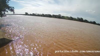
The Paraná River defines the setting of Alto Paraíso — its floodplain, channels and islands shape the municipality’s western side and support the wetlands of Ilha Grande National Park. In northwestern Paraná, the town stands in a largely rural district where cultivated land meets a protected river corridor. Shared by several municipalities, the national park preserves islands, lagoons and seasonally flooded habitats, giving this part of Brazil a markedly waterside character. Alto Paraíso is best understood through this broad river system, whose changing levels and extensive wetlands set the rhythm of the surrounding countryside. Find related webcams in northwestern Paraná and around Ilha Grande National Park to build a fuller picture of this Paraná River region. Generated by AI


Featured webcams
Popular webcams
Recently added webcams
Explore other webcams in Alto Paraiso