Pitt Meadows
The low-lying, river-fed plain around Pitt Meadows is bounded by the Fraser and Pitt rivers, a setting that has shaped both settlement patterns and the local farm economy. Dikes and drainage channels protect broad agricultural land, while the Pitt River leads north toward Pitt Lake, a freshwater lake influenced by the tides. Much of the municipality remains within the Agricultural Land Reserve, giving this Metro Vancouver community a distinctly rural character despite its proximity to the metropolitan core. Pitt Meadows lies in the traditional territory of the Katzie First Nation. Discover further points of interest through webcams across Pitt Meadows and British Columbia’s Lower Mainland. Generated by AI
12 webcams



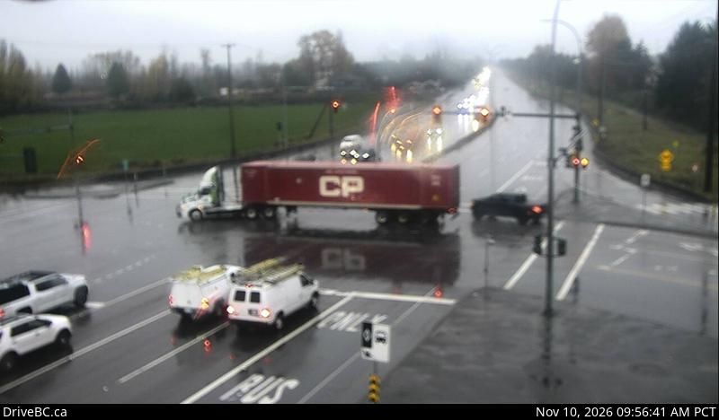
Featured webcams
Popular webcams
Recently added webcams
Explore other webcams in Pitt Meadows


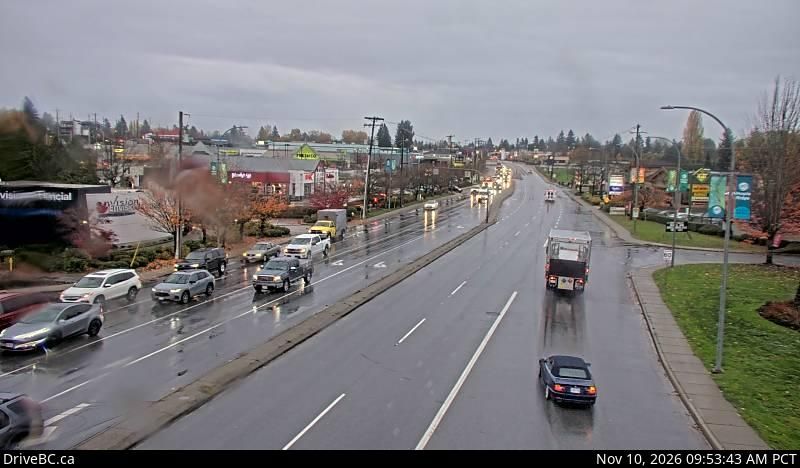
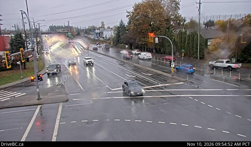
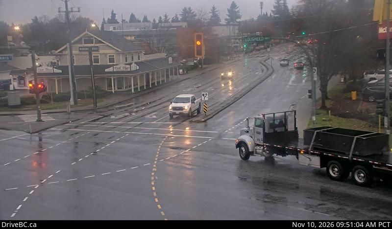
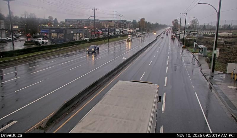
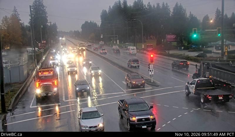
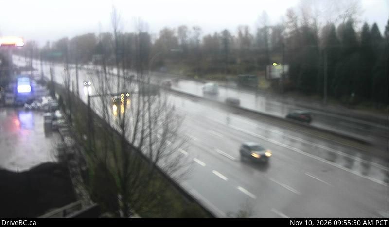
Pitt Meadows: Highway 7 (Lougheed Highway) at Dewdney Trunk Road, looking east

Pitt Meadows: Highway 7 (Lougheed Highway) at Dewdney Trunk Road, looking north

Pitt Meadows
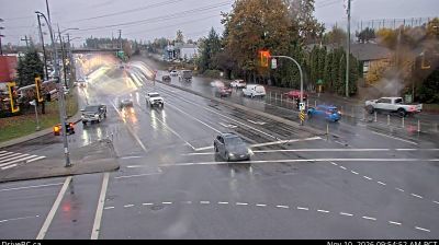
Pitt Meadows: Hwy 7 (Lougheed Hwy) at Dewdney Trunk Rd, looking west
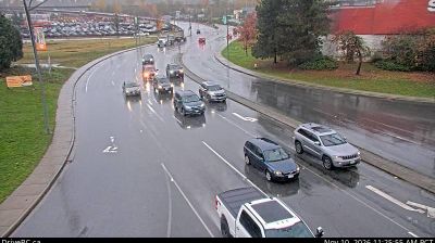
Pitt Meadows: Highway 7 (Lougheed Highway) at Maple Meadows Way/Dewdney Trunk Road, looking south
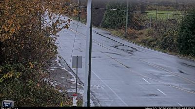
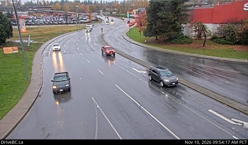
Pitt Meadows: Highway 7 (Lougheed Highway) at Harris Road, looking north
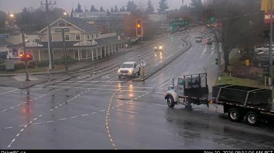
Pitt Meadows: Highway 7 (Lougheed Highway) at Harris Road, looking south
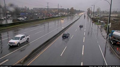
Pitt Meadows: Highway 7 (Lougheed Highway) at Harris Road, looking west
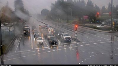
Pitt Meadows: Highway 7 (Lougheed Highway) at Harris Road, looking east
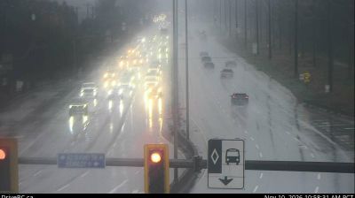
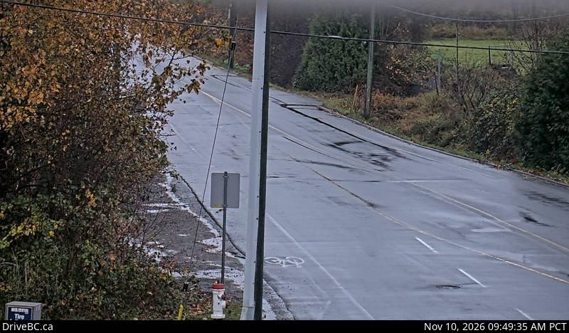
Pitt Meadows: Highway 7 (Lougheed Highway) at Kennedy Road, looking southeast, towards

Pitt Meadows: Pitt River Bridge
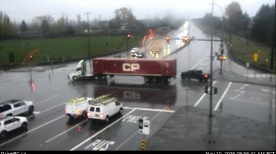
Pitt Meadows: Highway 7 (Lougheed Highway) at Kennedy Road, looking southeast