La Pine
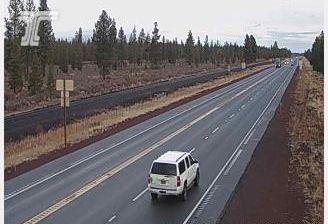
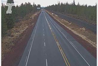
La Pine lies along the Little Deschutes River, where Central Oregon’s ponderosa-pine woodland gives way to open high-desert country east of the Cascade Range. The community stands on U.S. Route 97, a principal north–south road through Oregon, and grew during the region’s railroad and timber era. Deschutes National Forest and Newberry National Volcanic Monument shape the wider setting, bringing lava flows, cinder cones, lakes and forest trails into the surrounding country. The monument includes Lava River Cave, a substantial lava tube formed by past volcanic activity. Dry summers and cold, snowy winters define this high inland part of Oregon. Find related webcams around La Pine and Central Oregon to build a fuller picture of this volcanic high-desert region. Generated by AI
3 webcams


Featured webcams

Popular webcams
Recently added webcams
Explore other webcams in La Pine