Lodgepole
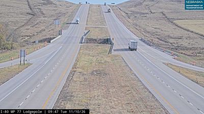
Lodgepole Creek defines the setting of Lodgepole — its course across the High Plains gives this small Cheyenne County community an open horizon and a natural transport corridor. The creek continues toward the South Platte River, linking the area geographically with the wider Platte basin. Union Pacific’s main line follows the historic overland route through Lodgepole, while U.S. Route 30 traces the same east–west plains corridor. Agriculture, rail traffic and long-distance travel remain part of the rhythm of this western Nebraska settlement. View additional webcams nearby to better understand how Lodgepole relates to the surrounding High Plains. Generated by AI
1 webcam


Featured webcams
Popular webcams
Recently added webcams
Explore other webcams in Lodgepole