Weed
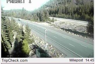
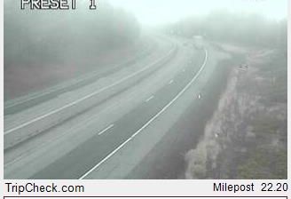
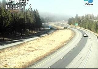
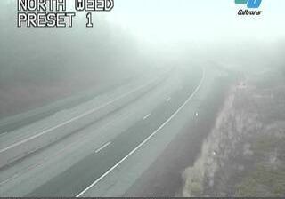
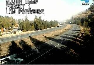
Mount Shasta defines the setting of Weed — its volcanic cone dominates the southern Cascade horizon and gives this Siskiyou County town a distinctly high-country character. Weed developed around the lumber enterprise of Abner Weed, who established a sawmill here in 1901; timber and the railroad shaped its early growth. Today, the city lies beside Interstate 5 near the junction with US Route 97, linking Northern California with Oregon and the Pacific Northwest. Forested slopes and Mount Shasta’s changing seasonal conditions remain central to the area’s identity. Browse other webcams across Siskiyou County and Northern California to place this volcanic setting in a wider geographic context. Generated by AI
5 webcams


Featured webcams
Popular webcams
Recently added webcams
Explore other webcams in Weed