Lebanon
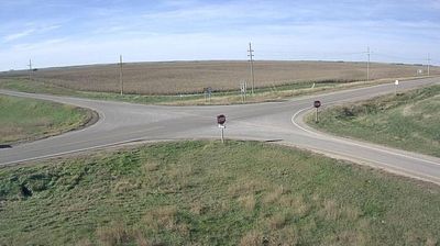
Lebanon lies on the open High Plains of north-central Kansas, where broad agricultural fields and big skies extend toward the Nebraska line. This small community is closely associated with the Geographic Center of the Contiguous United States: a roadside marker northwest of town identifies the point calculated by the U.S. Coast and Geodetic Survey in 1918. The distinction gives Lebanon an unusual place on the American map, drawing road-trippers who want to stand near the middle of the lower 48 states. Its setting reflects the working rural character of Kansas, with grain farming and long straight roads defining the surrounding country. Discover other points of interest through webcams located across Kansas. Generated by AI
1 webcam


Featured webcams
Popular webcams
Recently added webcams
Explore other webcams in Lebanon