Mont Belvieu
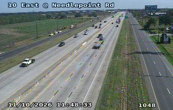
Developed around the Mont Belvieu salt dome, Mont Belvieu became a Texas city closely tied to the energy industry. Salt formations beneath the city are used for underground hydrocarbon storage, and petrochemical facilities around the dome place the community within the greater Houston industrial corridor. The terrain belongs to the Gulf Coastal Plain; the lower Trinity River runs east of the city before reaching Trinity Bay. The dome’s role in storage and processing has shaped Mont Belvieu’s modern development, contrasting with the farms, marshes and bay waters of surrounding coastal counties. Browse additional nearby webcams to see how Mont Belvieu relates to the Texas Gulf Coast around it. Generated by AI
4 webcams


Featured webcams
Popular webcams
Recently added webcams
Explore other webcams in Mont Belvieu