Area D (Lardeau Valley/Duncan Lake)
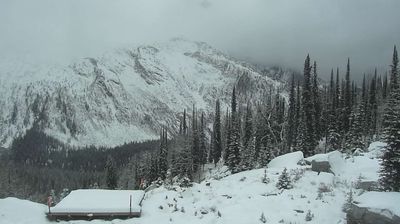
Tucked along Duncan Lake in British Columbia’s Lardeau Valley, Area D is an electoral area whose character is shaped by a long reservoir, steep forested slopes and widely scattered homes. The Duncan River runs through this northern Kootenay setting, between the Selkirk Mountains to the west and the Purcell Mountains to the east. Duncan Lake was created after Duncan Dam was completed in 1967 as part of the Columbia River Treaty system for flood control. The area’s roads and small communities support boating, fishing and backcountry travel rather than urban life. Discover how Area D connects with the Lardeau Valley and the wider Kootenay region by browsing webcams nearby. Generated by AI
1 webcam


Featured webcams
Popular webcams
Recently added webcams
Explore other webcams in Area D (Lardeau Valley/Duncan Lake)